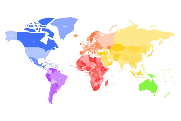
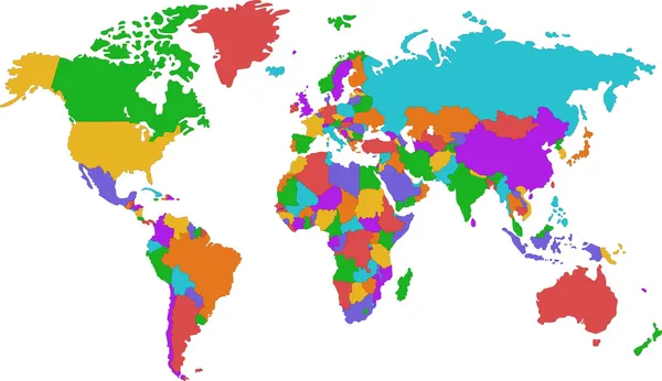
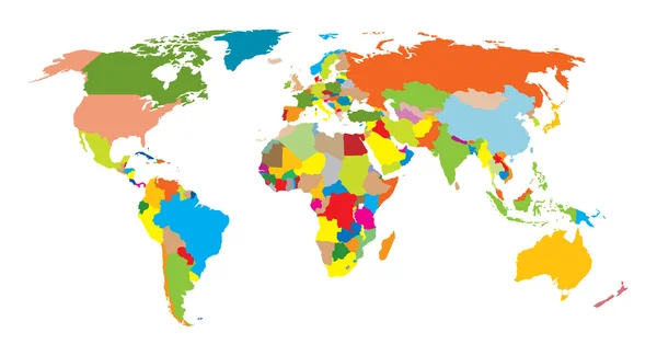
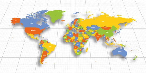
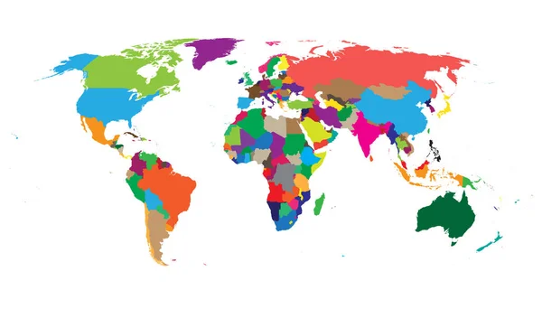
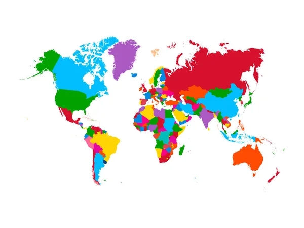
Stock vector Colored political world map with sovereign countries and larger dependent territories. Different colors for each countries

Published: Apr.13, 2016 10:24:21
Author: stas11
Views: 563
Downloads: 3
File type: vector / eps
File size: 2.46 MB
Orginal size: 6250 x 4167 px
Available sizes:
Level: bronze
Similar stock vectors

Colorful Map Of World. High Detail Political Map With Country Names. Vector Illustration.
6000 × 4500