Home
Images
Vectors
Videos
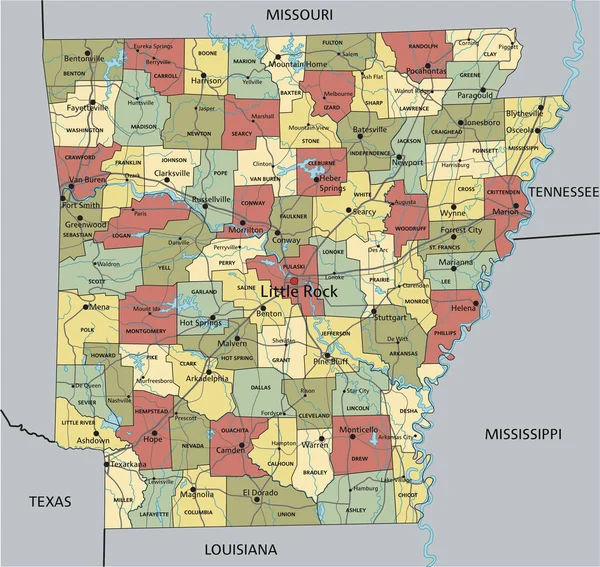
Stock vector Colorful Arkansas political map with clearly labeled, separated layers. Vector illustration.
Published:
Apr.24, 2023 10:32:32
Author:
delpieroo
Views:
1
Downloads:
0
File type:
vector
/
eps
File size:
6.57 MB
Orginal size:
4356
x
4116
px
Available sizes:
S
(500 x 472)
M
(1000 x 945)
L
(2000 x 1890)
XL
(4356 x 4116)
VECT
(4356 x 4116)
EL0
(4356 x 4116)
Level:
bronze
Download Vector
Vector topics:
Green
Color
Yellow
Blue
Vector
Background
Colorful
Graphic
Colored
Illustration
Bright
Label
Travel
Orange
Natural
Vivid
Pastel
Purple
City
American
Us
Usa
Capital
East
Country
District
Map
Geography
Continent
Land
State
Topography
Political
Interstate
Politics
Geographic
Editable
Territory
County
Mapping
Rivers
Arkansas
United States Of America
Mississippi River
Little Rock
Similar stock vectors
Colorful Arkansas Political Map With Clearly Labeled, Separated Layers. Vector Illustration.
4351 × 4115
Arkansas - Highly Detailed Editable Political Map With Labeling.
4356 × 4119
Highly Detailed Editable Political Map With Separated Layers. Arkansas.
4351 × 4115
Colorful County Map With Counties Names Of The US Federal State Of Arkansas
4800 × 3600
Arkansas - Highly Detailed Editable Political Map With Labeling.
4356 × 4119
Highly Detailed Editable Political Map With Separated Layers. Arkansas.
4356 × 4119
Colorful Illinois Political Map With Clearly Labeled, Separated Layers. Vector Illustration.
3310 × 5214
High Detailed Arkansas Physical Map With Labeling.
4356 × 4119