Home
Images
Vectors
Videos
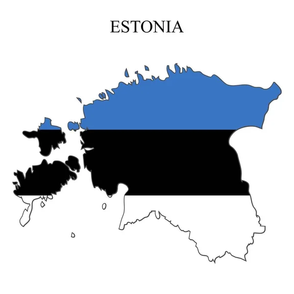
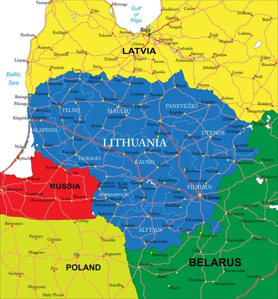
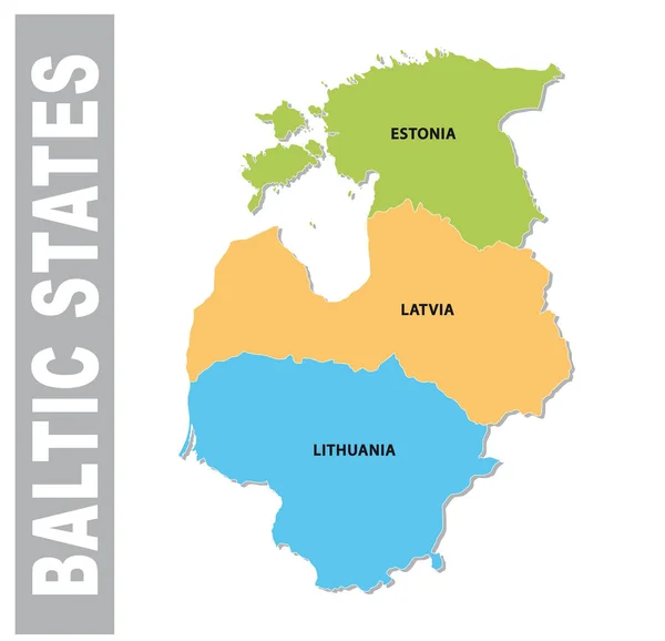
Stock vector Colorful baltic states administrative and political vector map
Published:
Jun.26, 2018 06:09:25
Author:
Lesniewski
Views:
132
Downloads:
13
File type:
vector
/
eps
File size:
0.48 MB
Orginal size:
3217
x
3100
px
Available sizes:
S
(500 x 482)
M
(1000 x 964)
L
(2000 x 1927)
XL
(3217 x 3100)
VECT
(3217 x 3100)
EL0
(3217 x 3100)
Level:
bronze
Download Vector
Vector topics:
Vector
Background
Colorful
Graphic
Illustration
Design
Travel
Silhouette
Border
Text
Europe
East
Outline
Country
Map
Cartography
Geography
Area
National
Land
State
Countries
Borders
Political
Administrative
Baltic
Nations
Estonia
States
Region
Territory
Latvia
Atlas
Lithuania
Baltic States
Similar stock vectors
Latvia
3750 × 3442
Vector Map Of Latvia
6398 × 5865
Illustrated Country Shape Of Lithuania
4167 × 2778
Latvia Information Map.
4724 × 4724
Isolated Latvia Map Design
5315 × 5315
Estonia Map Vector Illustration. Global Economy. Famous Country. Northern Europe. Europe. Scandinavian Region.
4000 × 4000
Highly Detailed Vector Map Of Lithuania With Administrative Regions, Main Cities And Roads
4643 × 5000
3D Map Of Lithuania With Country Name Highlighted Red On White Background 3D Illustration
6000 × 6000