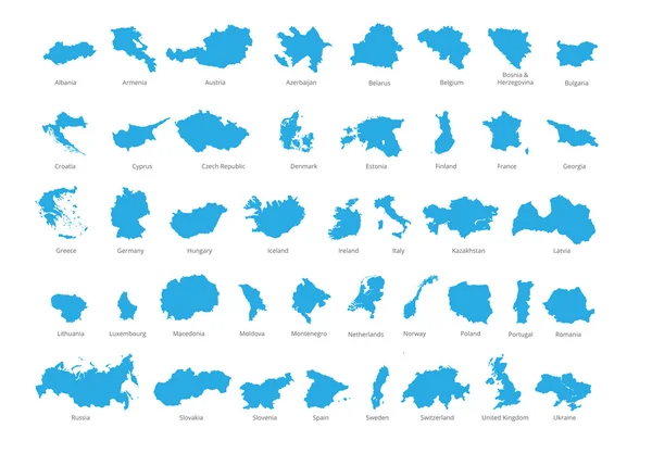
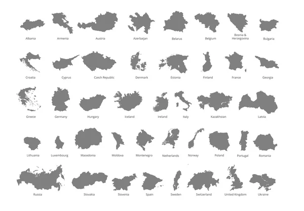
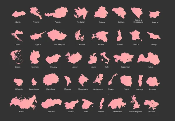
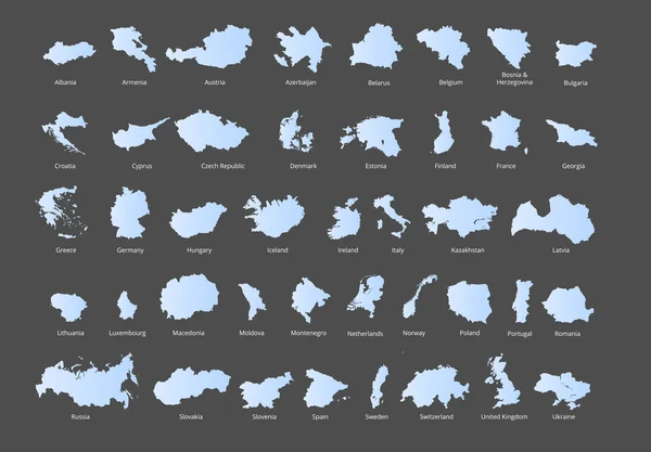
Stock vector Colorful European countries political map with clearly labeled, separated layers. Vector illustration.
Published: Apr.18, 2016 11:08:43
Author: rb.octopus.vc
Views: 61
Downloads: 0
File type: vector / eps
File size: 2.87 MB
Orginal size: 7193 x 5000 px
Available sizes:
Level: bronze
Similar stock vectors

Colorful European Countries Political Map With Clearly Labeled, Separated Layers. Vector Illustration.
7193 × 5000
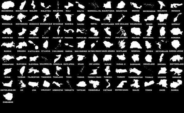
Colorful European Countries Political Map With Clearly Labeled, Separated Layers. Vector Illustration.
7193 × 5000
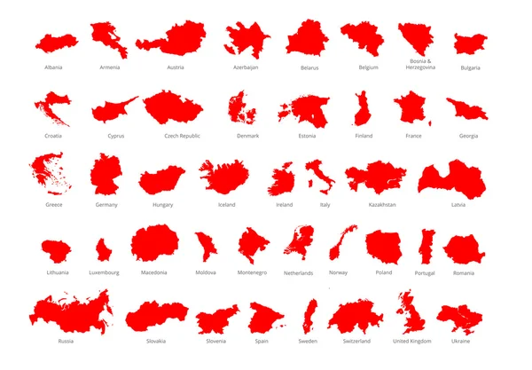
Colorful European Countries Political Map With Clearly Labeled, Separated Layers. Vector Illustration.
7197 × 5004
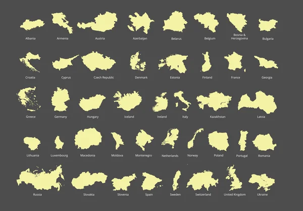
Colorful European Countries Political Map With Clearly Labeled, Separated Layers. Vector Illustration.
7193 × 5000
Colorful European Countries Political Map With Clearly Labeled, Separated Layers. Vector Illustration.
7193 × 5000

Colorful European Countries Political Map With Clearly Labeled, Separated Layers. Vector Illustration.
7193 × 5000