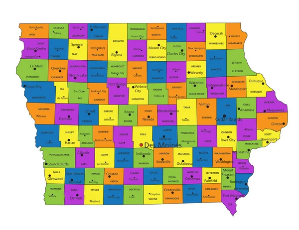
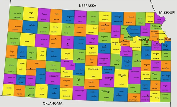
Stock vector Colorful Kansas political map with clearly labeled, separated layers. Vector illustration.
Published: Apr.25, 2023 09:40:26
Author: delpieroo
Views: 1
Downloads: 0
File type: vector / eps
File size: 6.63 MB
Orginal size: 5949 x 3606 px
Available sizes:
Level: bronze
Similar stock vectors
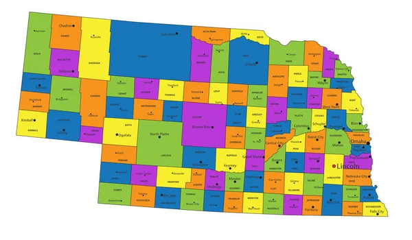
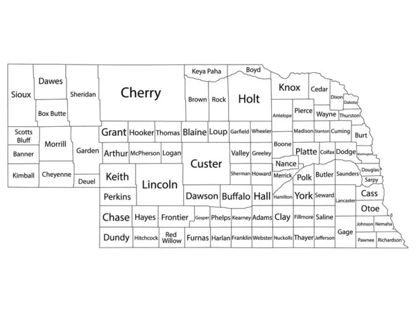
Colorful Nebraska Political Map With Clearly Labeled, Separated Layers. Vector Illustration.
5523 × 3229
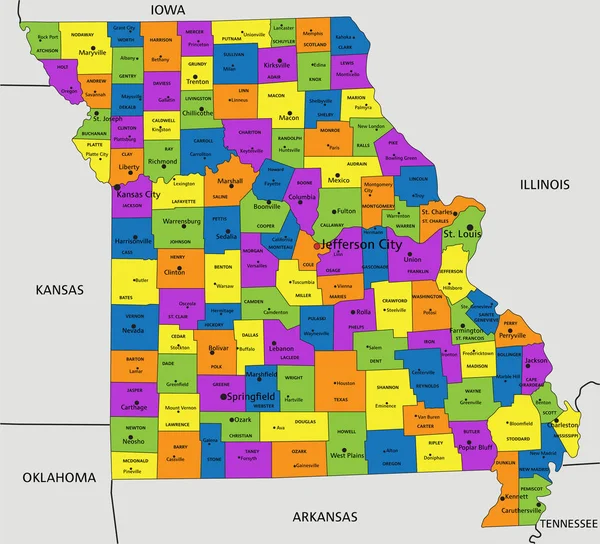
Colorful Missouri Political Map With Clearly Labeled, Separated Layers. Vector Illustration.
4675 × 4245
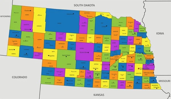
Colorful Nebraska Political Map With Clearly Labeled, Separated Layers. Vector Illustration.
6902 × 4035
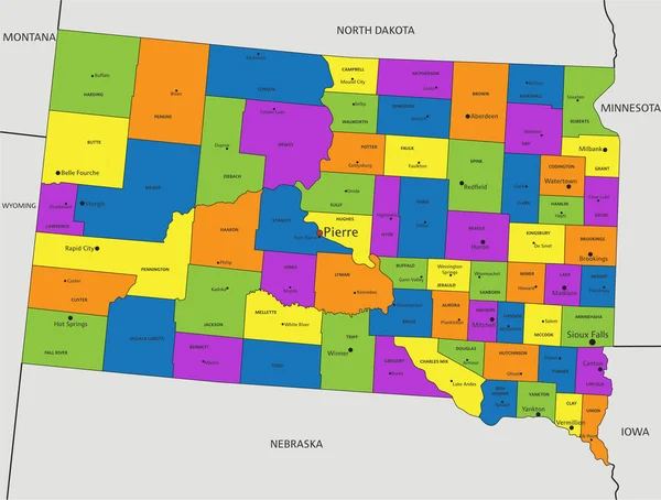
Colorful South Dakota Political Map With Clearly Labeled, Separated Layers. Vector Illustration.
4517 × 3418
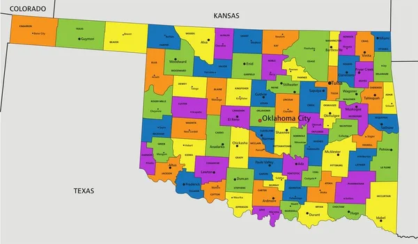
Colorful Oklahoma Political Map With Clearly Labeled, Separated Layers. Vector Illustration.
7010 × 4106