Home
Images
Vectors
Videos
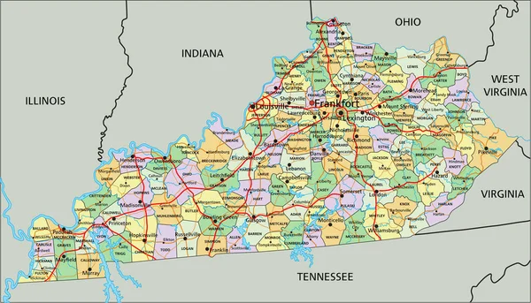
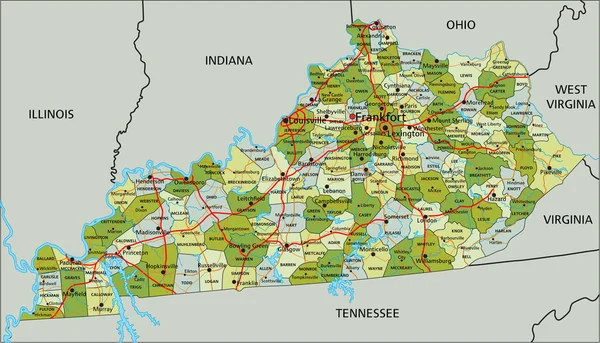
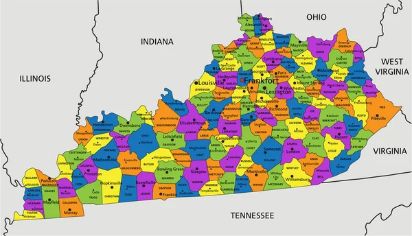
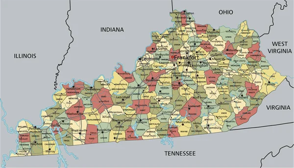
Stock vector Colorful Kentucky political map with clearly labeled, separated layers. Vector illustration.
Published:
Apr.26, 2023 07:02:30
Author:
delpieroo
Views:
1
Downloads:
0
File type:
vector
/
eps
File size:
7.74 MB
Orginal size:
5136
x
2944
px
Available sizes:
S
(500 x 287)
M
(1000 x 573)
L
(2000 x 1146)
XL
(5136 x 2944)
VECT
(5136 x 2944)
EL0
(5136 x 2944)
Level:
bronze
Download Vector
Vector topics:
Green
Color
Yellow
Blue
Vector
Background
Colorful
Graphic
Colored
Illustration
Bright
Label
Travel
Orange
Vivid
Pastel
Purple
City
American
Us
Usa
Capital
East
Country
District
Map
Cartography
Geography
Continent
Land
State
Topography
Political
Interstate
Politics
Geographic
Editable
Territory
Bluegrass
County
Mapping
Rivers
Kentucky
Louisville
Frankfort
United States Of America
Similar stock vectors
Kentucky - Highly Detailed Editable Political Map.
5136 × 2944
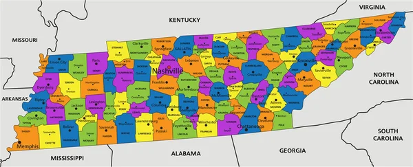
Colorful Tennessee Political Map With Clearly Labeled, Separated Layers. Vector Illustration.
6777 × 2752
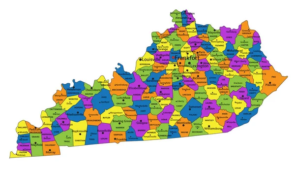
Colorful Kentucky Political Map With Clearly Labeled, Separated Layers. Vector Illustration.
5139 × 2948
Kentucky - Highly Detailed Editable Political Map.
5139 × 2948
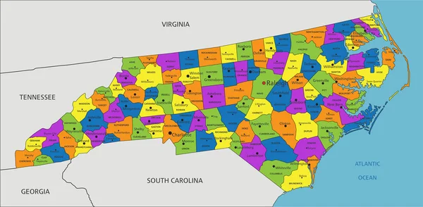
Colorful Virginia Political Map With Clearly Labeled, Separated Layers. Vector Illustration.
5550 × 3318
Colorful North Carolina Political Map With Clearly Labeled, Separated Layers. Vector Illustration.
7315 × 3588
Kentucky - Highly Detailed Editable Political Map.
5136 × 2944
Highly Detailed Editable Political Map With Separated Layers. Kentucky.
5136 × 2944