Home
Images
Vectors
Videos
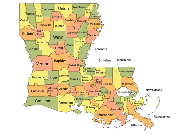
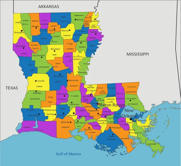
Stock vector Colorful Louisiana political map with clearly labeled, separated layers. Vector illustration.
Published:
Apr.26, 2023 07:06:42
Author:
delpieroo
Views:
5
Downloads:
1
File type:
vector
/
eps
File size:
7.68 MB
Orginal size:
5046
x
4656
px
Available sizes:
S
(500 x 461)
M
(1000 x 923)
L
(2000 x 1845)
XL
(5046 x 4656)
VECT
(5046 x 4656)
EL0
(5046 x 4656)
Level:
bronze
Download Vector
Vector topics:
Green
Color
Yellow
Blue
Vector
Background
Colorful
Graphic
Colored
Illustration
Bright
Label
Travel
Orange
Vivid
Pastel
Purple
City
American
Usa
Capital
East
Country
District
Map
Cartography
Geography
Continent
Land
State
Topography
Political
Interstate
Politics
Geographic
Editable
Territory
County
Mapping
Rivers
Mississippi
Louisiana
United States Of America
New Orleans
Baton Rouge
Pelican State
Similar stock vectors
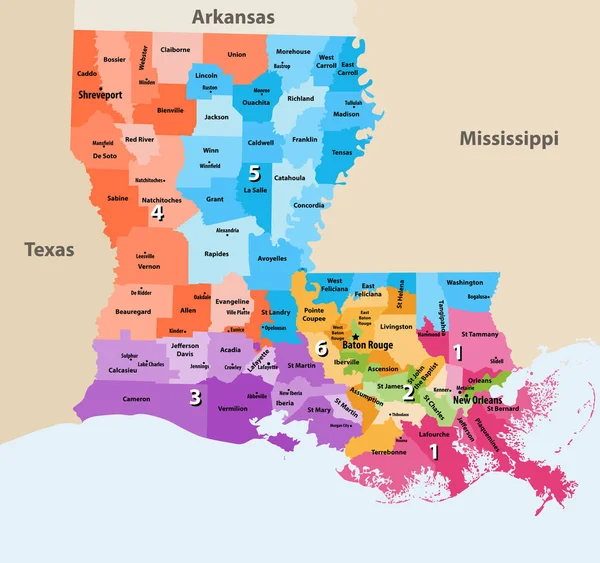
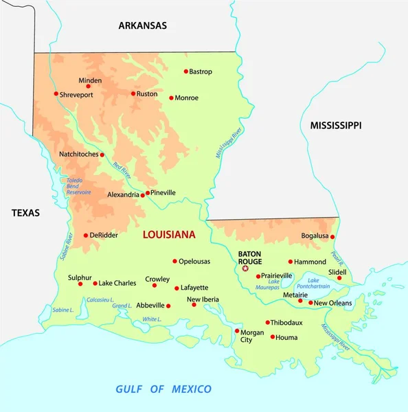
Louisiana's Congressional Districts Vector High Detailed Map With Regions And Major Cities Names
8333 × 7824
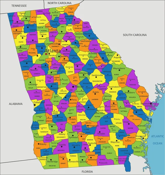
Colorful Louisiana Political Map With Clearly Labeled, Separated Layers. Vector Illustration.
5037 × 4650
Colorful Parish Map With Parishes Names Of The US Federal State Of Louisiana
4800 × 3600
Simple Colored Louisiana State Physical Vector Map
3995 × 4000
Vector Map Of The U.S. State Of Louisiana
4000 × 3943
Colorful Mississippi Political Map With Clearly Labeled, Separated Layers. Vector Illustration.
3517 × 5489
Mississippi Administrative And Political Vector Map
3100 × 4970
Colorful Georgia Political Map With Clearly Labeled, Separated Layers. Vector Illustration.
4489 × 4758