Home
Images
Vectors
Videos
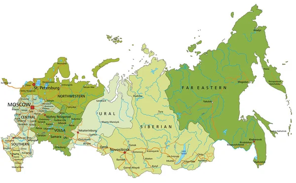
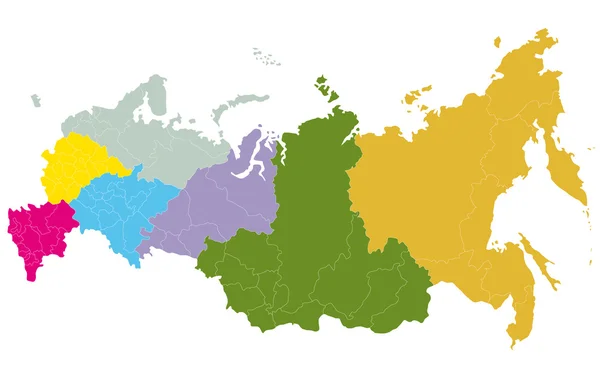
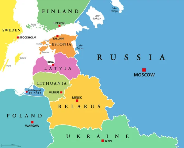
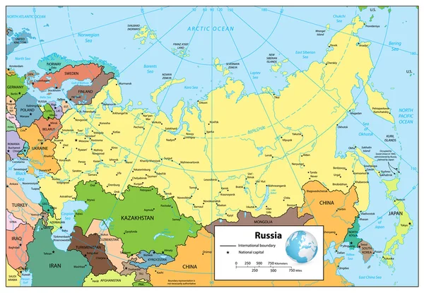
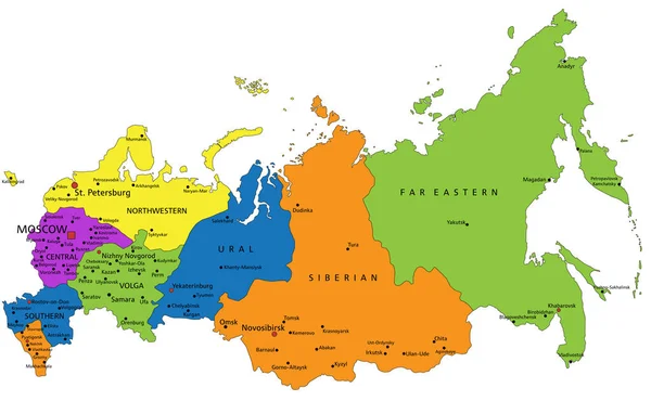
Stock vector Colorful Russia political map with clearly labeled, separated layers. Vector illustration.
Published:
Feb.03, 2022 13:48:03
Author:
delpieroo
Views:
615
Downloads:
0
File type:
vector
/
eps
File size:
6.17 MB
Orginal size:
5767
x
3557
px
Available sizes:
S
(500 x 308)
M
(1000 x 617)
L
(2000 x 1234)
XL
(5767 x 3557)
VECT
(5767 x 3557)
EL0
(5767 x 3557)
Level:
bronze
Download Vector
Vector topics:
Green
Color
Yellow
Blue
Vector
Background
Colorful
Graphic
Colored
Illustration
Bright
Label
Travel
Orange
Vivid
European
Pastel
Purple
City
Capital
Europe
East
Asian
Russia
Country
Map
Cartography
Geography
Moscow
Russian
Continent
Land
Asia
War
Topography
Political
Petersburg
Politics
Siberia
Soviet
Geographic
Editable
Territory
Ural
Volga
Mapping
Rivers
Kamchatka
Similar stock vectors
Highly Detailed Editable Political Map With Separated Layers. Russia.
5767 × 3557
A Map Of Russia
4900 × 3117
Baltic States, Colored Countries, Political Map. From Finland To Estonia, Latvia And Lithuania To Poland, And From The Russian Exclave Kaliningrad Oblast, To Belarus And The European Part Of Russia.
7432 × 6000
Russian Federation Detailed Political Map
8192 × 5671
Colorful Finland Political Map With Clearly Labeled, Separated Layers. Vector Illustration.
3909 × 7091
Finland Map - Detailed Vector Illustration
5500 × 6587
European Russia Map, Vector Illustration
2984 × 4472
Asia Political Map
5504 × 3932