Home
Images
Vectors
Videos
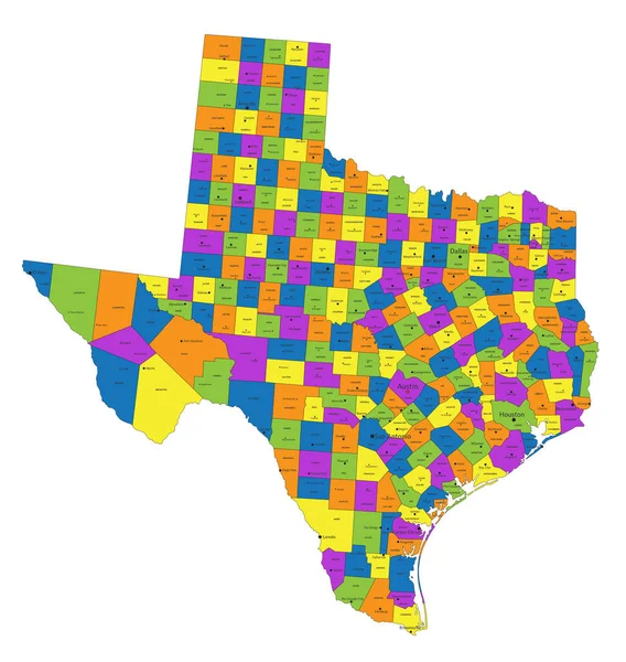
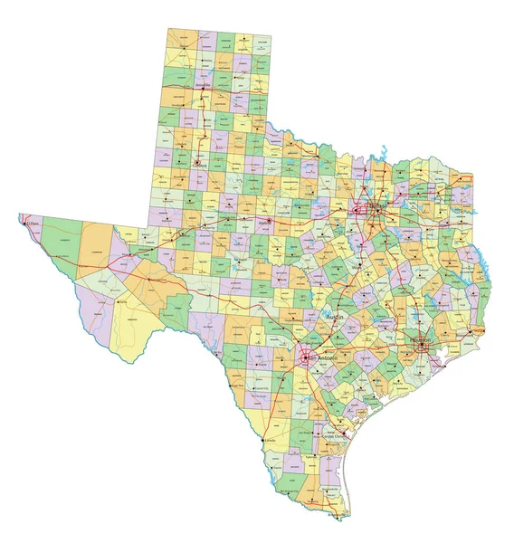
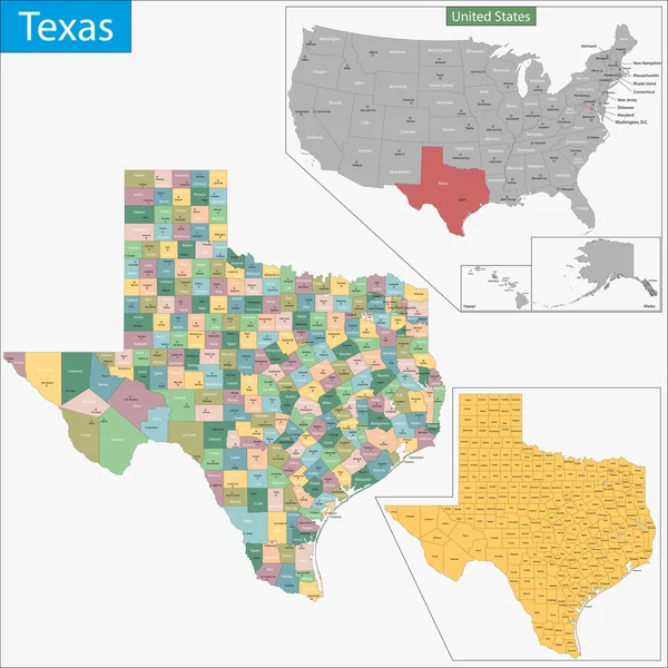
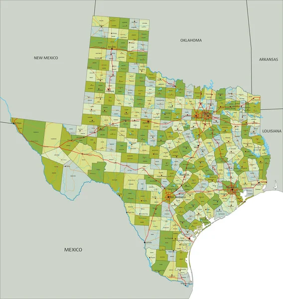
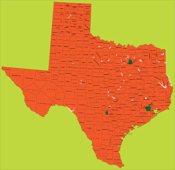
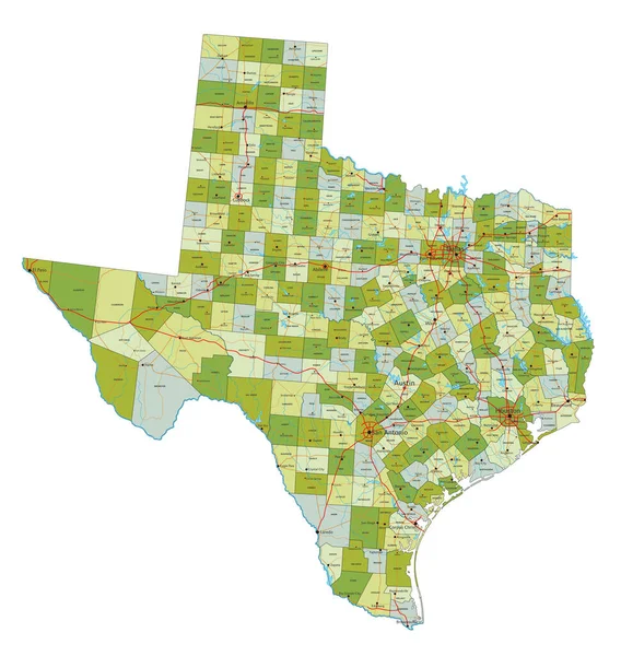
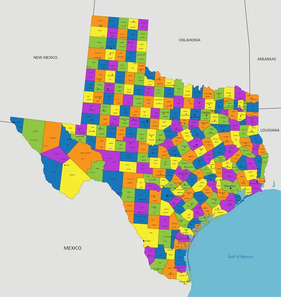
Stock vector Colorful Texas political map with clearly labeled, separated layers. Vector illustration.
Published:
May.05, 2023 05:19:31
Author:
delpieroo
Views:
1
Downloads:
0
File type:
vector
/
eps
File size:
8.54 MB
Orginal size:
5803
x
6121
px
Available sizes:
S
(474 x 500)
M
(948 x 1000)
L
(1896 x 2000)
XL
(5803 x 6121)
VECT
(5803 x 6121)
EL0
(5803 x 6121)
Level:
bronze
Download Vector
Vector topics:
Green
Color
Yellow
Blue
Vector
Background
Colorful
Graphic
Colored
Illustration
Bright
Label
Travel
Orange
Vivid
Pastel
Purple
City
American
Usa
Capital
East
Country
District
Map
Cartography
Geography
Continent
Land
State
Texas
Topography
Political
Interstate
Politics
Geographic
Editable
Territory
County
Austin
Mapping
Rivers
Dallas
United States Of America
San Antonio
Huston
The Lone Star State
Similar stock vectors
Colorful Texas Political Map With Clearly Labeled, Separated Layers. Vector Illustration.
5801 × 6119
Texas - Highly Detailed Editable Political Map With Labeling.
5801 × 6119
Texas - Highly Detailed Editable Political Map With Labeling.
5806 × 6121
Texas Map
7000 × 7000
Highly Detailed Editable Political Map With Separated Layers. Texas.
5806 × 6121
Texas Political Map, Illustration With Each County Selectable Independently
3295 × 3202
Highly Detailed Editable Political Map With Separated Layers. Texas.
5801 × 6119