Home
Images
Vectors
Videos
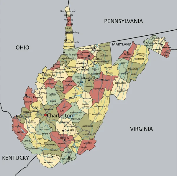
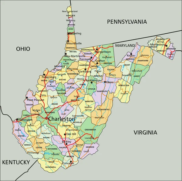
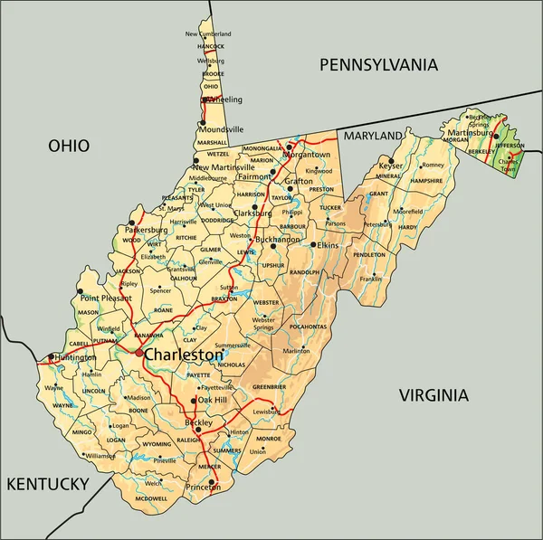
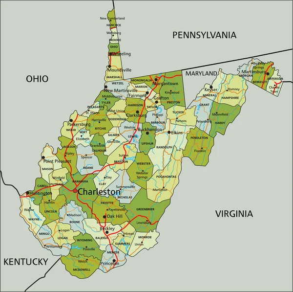
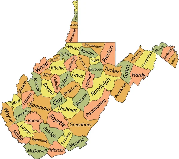
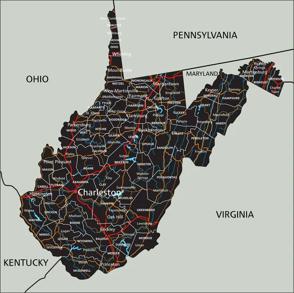
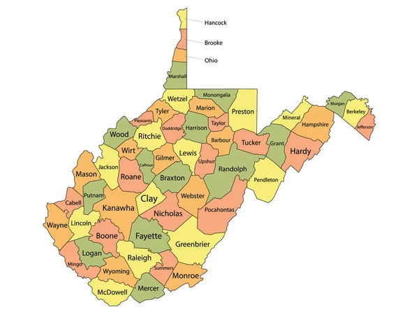
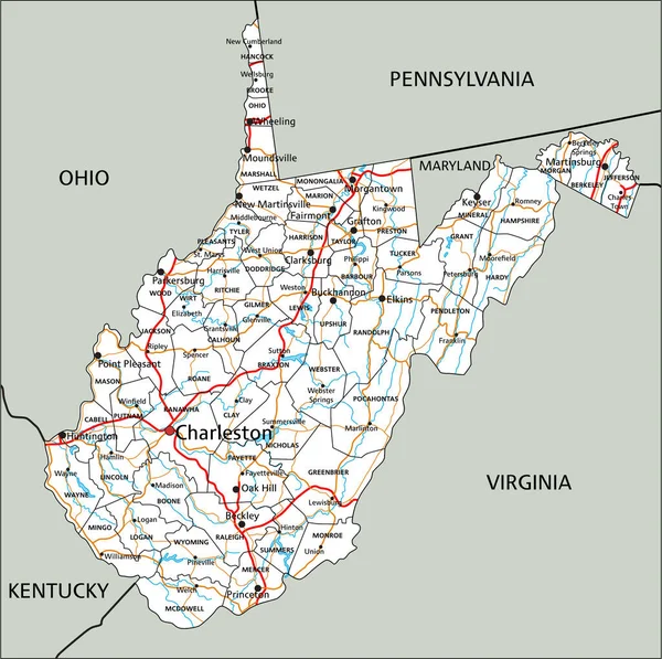
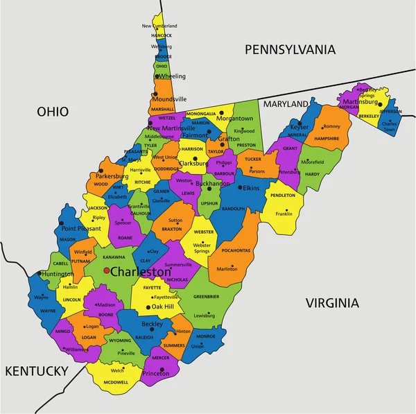
Stock vector Colorful West Virginia political map with clearly labeled, separated layers. Vector illustration.
Published:
May.05, 2023 06:06:11
Author:
delpieroo
Views:
1
Downloads:
0
File type:
vector
/
eps
File size:
6.58 MB
Orginal size:
3376
x
3358
px
Available sizes:
S
(500 x 497)
M
(1000 x 995)
L
(2000 x 1989)
XL
(3376 x 3358)
VECT
(3376 x 3358)
EL0
(3376 x 3358)
Level:
bronze
Download Vector
Vector topics:
Green
Color
Yellow
Blue
Vector
Background
Colorful
Graphic
Colored
Illustration
Bright
Label
Travel
Orange
Vivid
Pastel
Purple
City
American
Us
Usa
Capital
East
Country
District
Map
Cartography
Geography
Continent
Land
Topography
Political
Interstate
Politics
Geographic
Editable
Appalachian
Territory
County
Mapping
Rivers
Charleston
Huntington
Ashland
United States Of America
West Virginia
Mid Atlantic
Mountain State
Similar stock vectors
West Virginia - Highly Detailed Editable Political Map With Labeling.
3376 × 3359
West Virginia - Highly Detailed Editable Political Map With Labeling.
3376 × 3359
High Detailed West Virginia Physical Map With Labeling.
3376 × 3359
Highly Detailed Editable Political Map With Separated Layers. West Virginia.
3376 × 3359
Pastel Vector Administrative Map Of The Federal State Of West Virginia, USA With Black Borders And Name Tags Of Its Counties
5207 × 4647
High Detailed West Virginia Road Map With Labeling.
3376 × 3359
Colorful County Map With Counties Names Of The US Federal State Of West Virginia
4800 × 3600
High Detailed West Virginia Road Map With Labeling.
3376 × 3359