Home
Images
Vectors
Videos
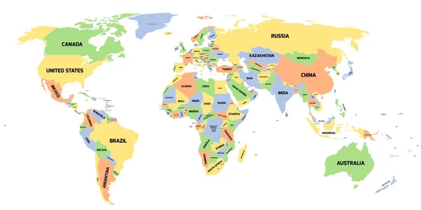
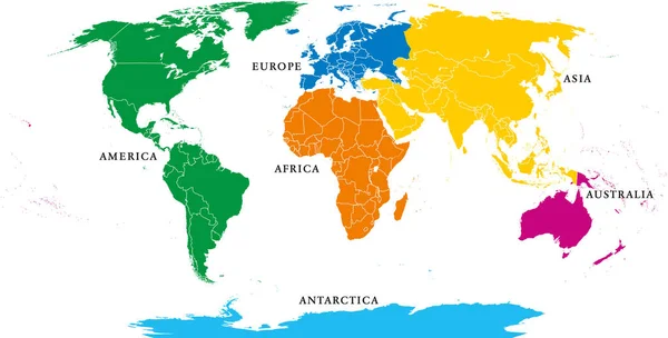
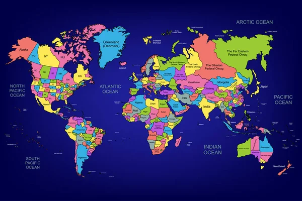
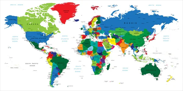
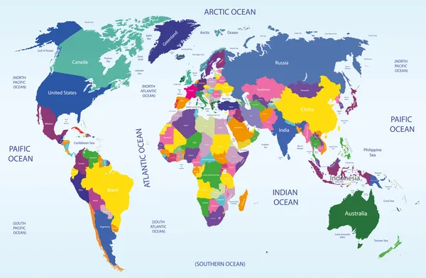
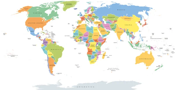
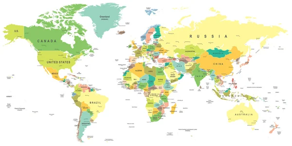
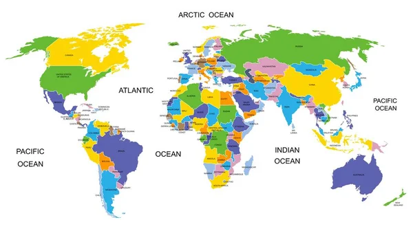
Stock vector Colorful World map countries. High detail political map with country names. Vector illustration.
Published:
May.04, 2020 14:56:14
Author:
VectorCO
Views:
1217
Downloads:
9
File type:
vector
/
eps
File size:
8.47 MB
Orginal size:
6000
x
3400
px
Available sizes:
S
(500 x 283)
M
(1000 x 567)
L
(2000 x 1133)
XL
(6000 x 3400)
VECT
(6000 x 3400)
EL0
(6000 x 3400)
Level:
beginner
Download Vector
Vector topics:
Blue
Vector
Background
Circle
Graphic
Illustration
Design
Isolated
Business
Art
Travel
Detail
Silhouette
Border
Modern
Symbol
Icon
Global
Flat
Education
Clip
Earth
Planet
World
Usa
Digitally
Ocean
Science
Detailed
North
Europe
Globe
South
Russia
Country
Map
Cartography
Geography
Pacific
Africa
Continent
Land
Asia
America
Australia
Political
Canada
Atlantic
Oceania
Atlas
Similar stock vectors
Political Map Of World
12000 × 6000
Six Continents, Political World Map, With Borders. Africa, America, Antarctica, Asia, Australia And Europe. Robinson Projection. English Labeling. Isolated Illustration On White Background. Vector.
10633 × 5394
The World Map
7000 × 4667
Five Continents, Political World Map, With Borders. Africa, America, Antarctica, Asia, Australia And Europe. Robinson Projection. English Labeling. Isolated Illustration On White Background. Vector.
9933 × 5039
Highly Detailed Map Of The World With Countries, Big Cities And Other Labels,updated With South Sudan,Kosovo And North Macedonia
12000 × 6001
World Geographical And Political Map
7569 × 4949
World Single States Political Map
11000 × 5649
World Map - Illustration.
9400 × 4700