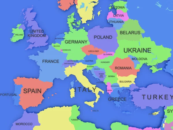
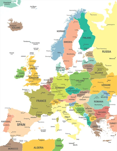
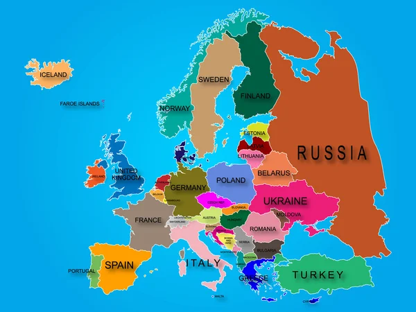
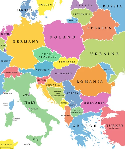
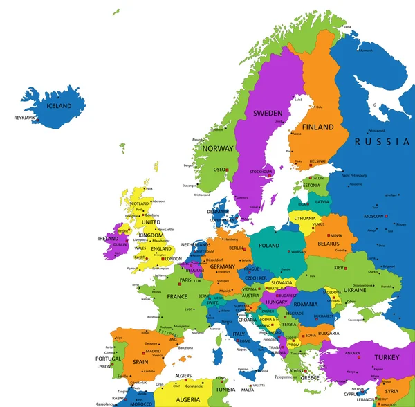
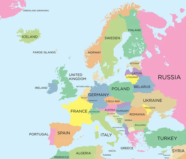
Stock vector Coloured political map of Europe
Published: Oct.14, 2013 07:52:43
Author: Max_776
Views: 14195
Downloads: 125
File type: vector / eps
File size: 1.77 MB
Orginal size: 6299 x 5391 px
Available sizes:
Level: bronze