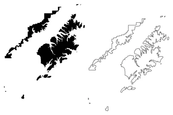
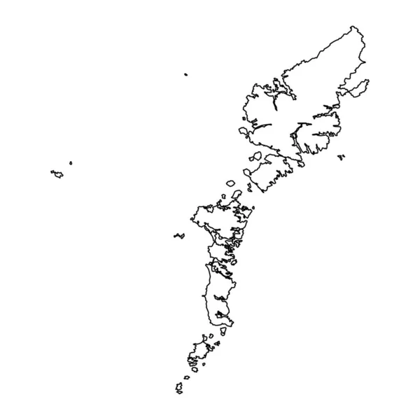
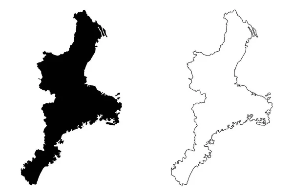
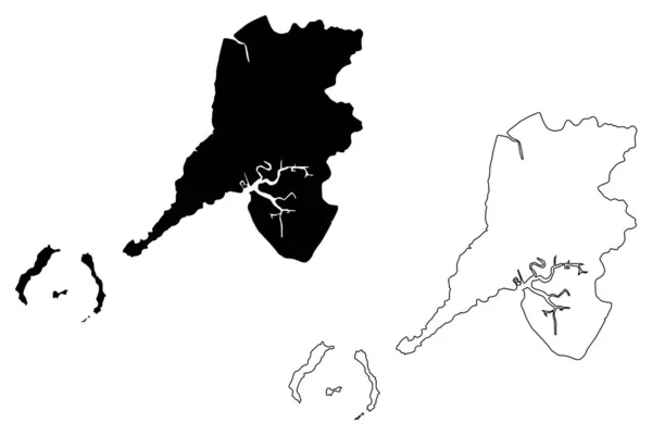
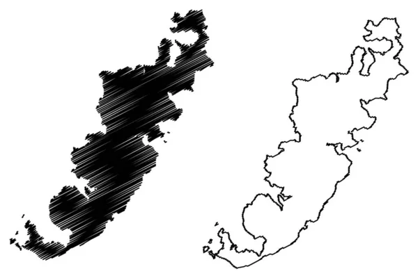
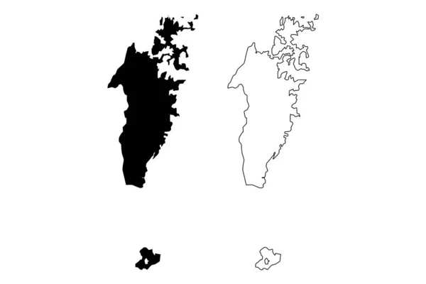
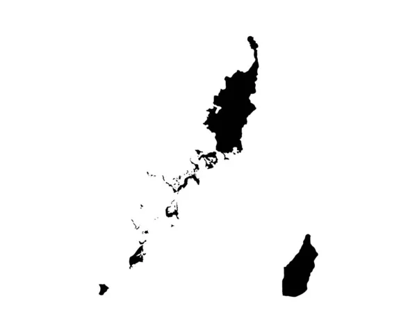
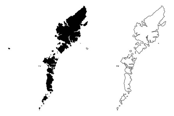
Stock vector Comhairle nan Eilean Siar (United Kingdom, Scotland, Local government in Scotland) map vector illustration, scribble sketch Na h-Eileanan Siar ( Outer Hebrides and Isle of Lewis) map
Published: Feb.22, 2019 08:31:21
Author: Danler
Views: 52
Downloads: 4
File type: vector / eps
File size: 0.73 MB
Orginal size: 7087 x 4726 px
Available sizes:
Level: bronze