photo free
Home Images Vectors Videos

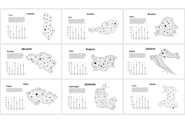
Stock vector Communication network map. Vector image of a low poly global map with city lights. Map in the form of lines and dots

Stock vector Communication network map. Vector image of a low poly global map with city lights. Map in the form of lines and dots
Published: Dec.15, 2021 09:48:50
Author: zajchenka240488.gmail.com
Views: 0
Downloads: 0
File type: vector / eps
File size: 5.75 MB
Orginal size: 8000 x 5330 px
Available sizes:
S
(500 x 333)
M
(1000 x 666)
L
(2000 x 1333)
XL
(8000 x 5330)
VECT
(8000 x 5330)
EL0
(8000 x 5330)
Level: beginner
Download Vector
Vector topics:

Similar stock vectors

stock vector Communication network map. Vector image of a low poly global map with city lights. Map in the form of lines and dots

Communication Network Map. Vector Image Of A Low Poly Global Map With City Lights. Map In The Form Of Lines And Dots

8000 × 5330
stock vector Communication network map. Vector image of a low poly global map with city lights. Map in the form of lines and dots

Communication Network Map. Vector Image Of A Low Poly Global Map With City Lights. Map In The Form Of Lines And Dots

8000 × 5330
stock vector Communication network map. Vector image of a low poly global map with city lights. Map in the form of lines and dots

Communication Network Map. Vector Image Of A Low Poly Global Map With City Lights. Map In The Form Of Lines And Dots

8000 × 5330
stock vector Communication network map. Vector image of a low poly global map with city lights. Map in the form of lines and dots

Communication Network Map. Vector Image Of A Low Poly Global Map With City Lights. Map In The Form Of Lines And Dots

8000 × 5330
stock vector Colorful European countries political map with clearly labeled, separated layers. Vector illustration.

Colorful European Countries Political Map With Clearly Labeled, Separated Layers. Vector Illustration.

7197 × 5004
stock vector Colorful European countries political map with clearly labeled, separated layers. Vector illustration.

Colorful European Countries Political Map With Clearly Labeled, Separated Layers. Vector Illustration.

7193 × 5000
stock vector Set of 20 maps in linear style of different countries - England, America, Asia, Europe. Outline isolated icon for atlas, cartography, education projects, article, travel sites and other design needs

Set Of 20 Maps In Linear Style Of Different Countries - England, America, Asia, Europe. Outline Isolated Icon For Atlas, Cartography, Education Projects, Article, Travel Sites And Other Design Needs

5000 × 4102
stock image Countries black line icons set. Different world countries from all continents. Pictogram for web page, mobile app, promo. UI UX GUI design element. Editable stroke

Countries Black Line Icons Set. Different World Countries From All Continents. Pictogram For Web Page, Mobile App, Promo. UI UX GUI Design Element. Editable Stroke

5209 × 3729