Home
Images
Vectors
Videos
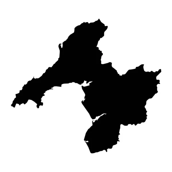
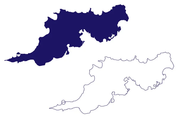
Stock vector Cornwall (United Kingdom, England, Non-metropolitan county, shire county) map vector illustration, scribble sketch Cornwall map
Published:
Jan.30, 2019 08:34:11
Author:
Danler
Views:
43
Downloads:
2
File type:
vector
/
eps
File size:
0.65 MB
Orginal size:
7087
x
4726
px
Available sizes:
S
(500 x 333)
M
(1000 x 667)
L
(2000 x 1334)
XL
(7087 x 4726)
VECT
(7087 x 4726)
EL0
(7087 x 4726)
Level:
bronze
Download Vector
Vector topics:
Vector
Background
Illustration
Design
Isolated
Sign
Travel
Abstract
Texture
European
Line
Silhouette
Border
Banner
Icon
City
Flat
Contour
Simple
Drawing
World
Scratch
Tourism
Europe
Sketch
Outline
Country
Map
Cartography
Geography
Area
National
Continent
Uk
State
Topography
Island
Administrative
Region
Scribble
Insignia
England
Patriotic
Province
County
Cornwall
Oblast
Archipelago
Truro
United Kingdom
Similar stock vectors
Map Of South West England. Black And Outline Maps. EPS Vector File.
8334 × 6250
Clare County Council (Republic Of Ireland, Counties Of Ireland) Map Vector Illustration, Scribble Sketch Clare Map
7087 × 4726
Dyfed County, Wales. Vector Illustration.
8334 × 8334
Phrae Province (Kingdom Of Thailand, Siam, Provinces Of Thailand) Map Vector Illustration, Scribble Sketch Phrae Map
7087 × 4726
Dwyfor Map, District Of Wales. Vector Illustration.
8334 × 8334
Gwynedd County, Wales. Vector Illustration.
8334 × 8334
Tortola Island (British Virgin Islands, United Kingdom, Cenrtal America, Caribbean Islands) Map Vector Illustration, Scribble Sketch Tortola Map
7087 × 4726
Wales Map With Districts. Vector Illustration.
8334 × 8334