photo free
Home Images Vectors Videos

Stock vector Costa Rica - blue map with neighboring countries and names. Vector illustration
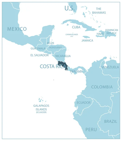
Stock vector Costa Rica - blue map with neighboring countries and names. Vector illustration
Published: Jun.30, 2023 17:11:33
Author: gt29
Views: 15
Downloads: 1
File type: vector / eps
File size: 0.47 MB
Orginal size: 5275 x 6071 px
Available sizes:
S
(434 x 500)
M
(869 x 1000)
L
(1738 x 2000)
XL
(5275 x 6071)
VECT
(5275 x 6071)
EL0
(5275 x 6071)
Level: bronze
Download Vector
Vector topics:

Similar stock vectors

stock vector Blue-gray detailed map of Costa Rica administrative divisions and location on the globe. Vector illustration

Blue-gray Detailed Map Of Costa Rica Administrative Divisions And Location On The Globe. Vector Illustration

5221 × 5961
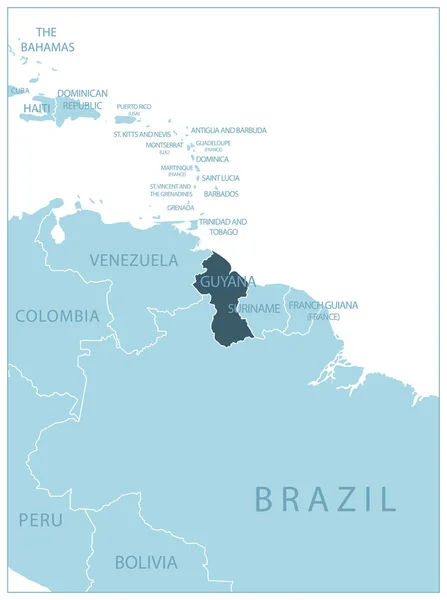
stock vector Guyana - blue map with neighboring countries and names. Vector illustration

Guyana - Blue Map With Neighboring Countries And Names. Vector Illustration

4910 × 6584
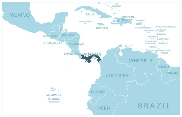
stock vector Panama - blue map with neighboring countries and names. Vector illustration

Panama - Blue Map With Neighboring Countries And Names. Vector Illustration

7040 × 4553
stock vector Grey Costa Rica map

Grey Costa Rica Map

5104 × 4905
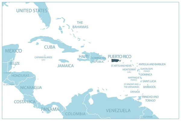
stock vector Puerto Rico - blue map with neighboring countries and names. Vector illustration

Puerto Rico - Blue Map With Neighboring Countries And Names. Vector Illustration

6950 × 4663
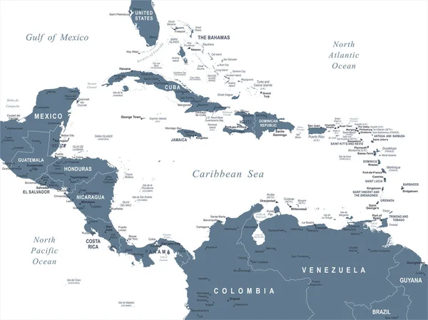
stock vector Central America Map - Vector Illustration

Central America Map - Vector Illustration

7335 × 5500
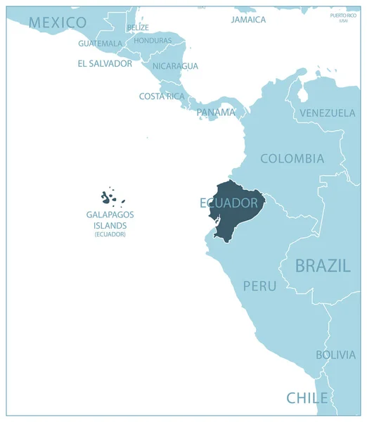
stock vector Ecuador - blue map with neighboring countries and names. Vector illustration

Ecuador - Blue Map With Neighboring Countries And Names. Vector Illustration

5283 × 6075
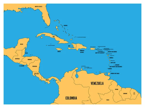
stock vector Central America and Carribean states political map. Yellow land with black country names labels on blue sea background. Simple flat vector illustration

Central America And Carribean States Political Map. Yellow Land With Black Country Names Labels On Blue Sea Background. Simple Flat Vector Illustration

8000 × 6000