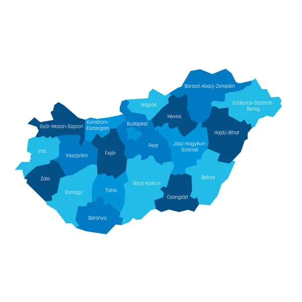
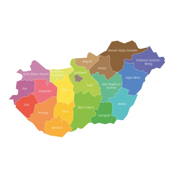
Stock vector Counties of Hungary. Map of regional country administrative divisions. Colorful vector illustration
Published: May.03, 2019 07:51:03
Author: pyty
Views: 54
Downloads: 3
File type: vector / eps
File size: 1.09 MB
Orginal size: 6000 x 6000 px
Available sizes:
Level: silver
Similar stock vectors

Regions Of Slovakia. Map Of Regional Country Administrative Divisions. Colorful Vector Illustration
6000 × 6000