Home
Images
Vectors
Videos
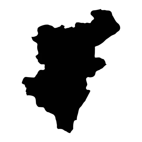
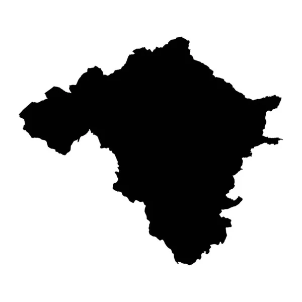
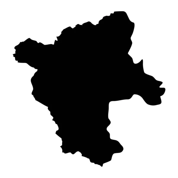
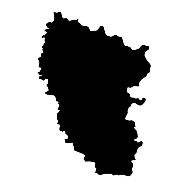
Stock vector County Kildare map, administrative counties of Ireland. Vector illustration.
Published:
May.30, 2023 08:55:48
Author:
majborodinruslan1990.icloud.com
Views:
0
Downloads:
0
File type:
vector
/
eps
File size:
5.33 MB
Orginal size:
8334
x
8334
px
Available sizes:
S
(500 x 500)
M
(1000 x 1000)
L
(2000 x 2000)
XL
(8334 x 8334)
VECT
(8334 x 8334)
EL0
(8334 x 8334)
Level:
beginner
Download Vector
Vector topics:
Vector
Graphic
Illustration
Design
Isolated
Sign
Texture
Line
Silhouette
Border
Banner
Symbol
Icon
Contour
Simple
Drawing
Template
Detailed
Capital
Europe
Outline
Country
District
Map
Cartography
Geography
Area
National
Ireland
State
Chart
Topography
Boundary
Political
Administrative
Region
Division
Federal
Territory
Atlas
Province
County
Mapping
Canton
Kildare
Cut Out
Similar stock vectors
Denizli Province Map, Administrative Divisions Of Turkey. Vector Illustration.
8334 × 8334
Outline Silhouette Map Of Serbia Over A White Background
7032 × 9125
District Of Radnorshire Map, District Of Wales. Vector Illustration.
8334 × 8334
Pec District Map, Administrative District Of Serbia. Vector Illustration.
8334 × 8334
Luhansk Oblast Map, Province Of Ukraine. Vector Illustration.
8334 × 8334
Kyrgyz Republic Map
4300 × 2800
Upper Carniola Map, Region Of Slovenia. Vector Illustration.
8334 × 8334
County Derbyshire Map, Administrative County Of England. Vector Illustration.
8334 × 8334