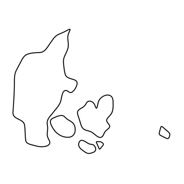
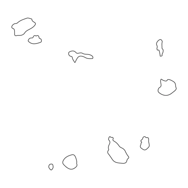
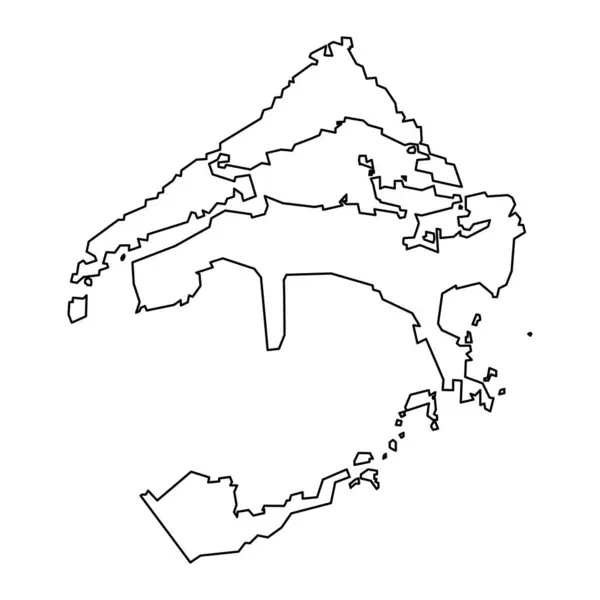
Stock vector Denmark country thin black outline silhouette. Simplified map. Vector icon isolated on white background.

Published: Mar.19, 2024 22:19:28
Author: pyty
Views: 0
Downloads: 0
File type: vector / eps
File size: 0.22 MB
Orginal size: 8000 x 8000 px
Available sizes:
Level: silver