Home
Images
Vectors
Videos
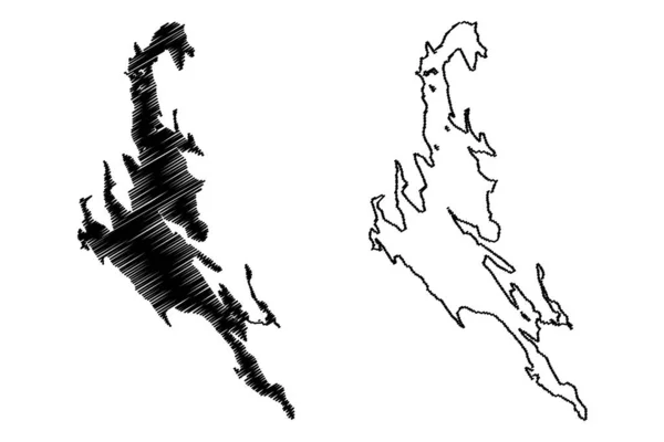
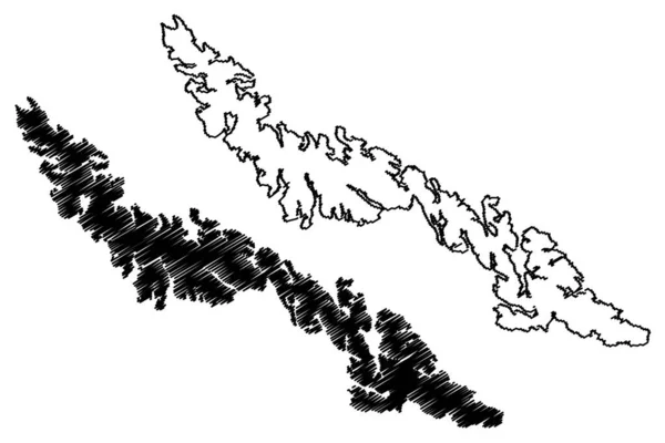
Stock vector Desolacion island (Republic of Chile, South and Latin America, Tierra del Fuego Archipelago) map vector illustration, scribble sketch Isla Desolacion map
Published:
Mar.07, 2022 09:04:21
Author:
Danler
Views:
2
Downloads:
0
File type:
vector
/
eps
File size:
1.29 MB
Orginal size:
7087
x
4726
px
Available sizes:
S
(500 x 333)
M
(1000 x 667)
L
(2000 x 1334)
XL
(7087 x 4726)
VECT
(7087 x 4726)
EL0
(7087 x 4726)
Level:
bronze
Download Vector
Vector topics:
Vector
Illustration
Design
Isolated
Sign
Travel
Abstract
Texture
Black
Line
Silhouette
Border
Symbol
Icon
Flat
Contour
Simple
Drawing
Scratch
Ocean
Tourism
South
Sketch
Outline
Country
Map
Cartography
Geography
Area
Pacific
Continent
State
Topography
America
Island
Administrative
Delineation
Region
Scribble
Territory
Borderline
Patriotic
Province
Nation
Chile
Autonomy
Oblast
Archipelago
Similar stock vectors
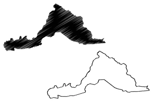
Iz Island (Republic Of Croatia, Adriatic Sea) Map Vector Illustration, Scribble Sketch Map
7087 × 4726
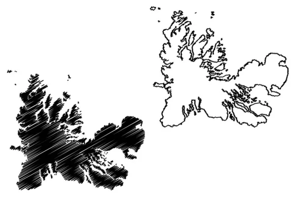
Sandhornoya Island (Kingdom Of Norway) Map Vector Illustration, Scribble Sketch Sandhornoy Map
7087 × 4726
Premuda Island (Republic Of Croatia, Adriatic Sea, Zadar Archipelago) Map Vector Illustration, Scribble Sketch Premuda Map
7087 × 4726
Kerguelen Islands (France, French Republic) Map Vector Illustration, Scribble Sketch Desolation Islands Map
7087 × 4726
Lake Of East Grand (Canada, United States, North America, Us, Part Of The Chiputneticook Lakes) Map Vector Illustration, Scribble Sketch Grand Map
7087 × 4726
Murter Island (Republic Of Croatia, Adriatic Sea) Map Vector Illustration, Scribble Sketch Colentum Or Mortero Map
7087 × 4726
Ugljan Island (Republic Of Croatia, Adriatic Sea, Zadar Archipelago) Map Vector Illustration, Scribble Sketch Ugljan Map
7087 × 4726
Sarpang District (Districts Of Bhutan, Kingdom Of Bhutan) Map Vector Illustration, Scribble Sketch Sarpang Map
7087 × 4726