Home
Images
Vectors
Videos
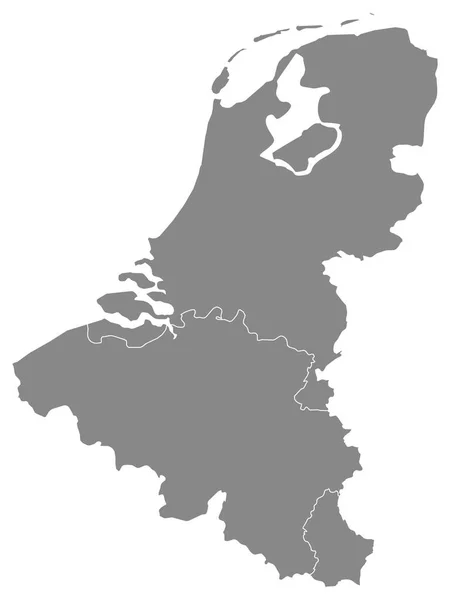
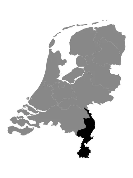
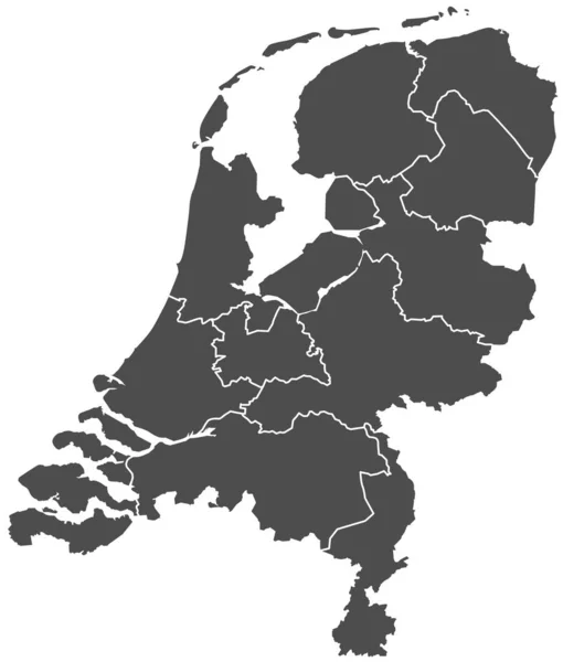
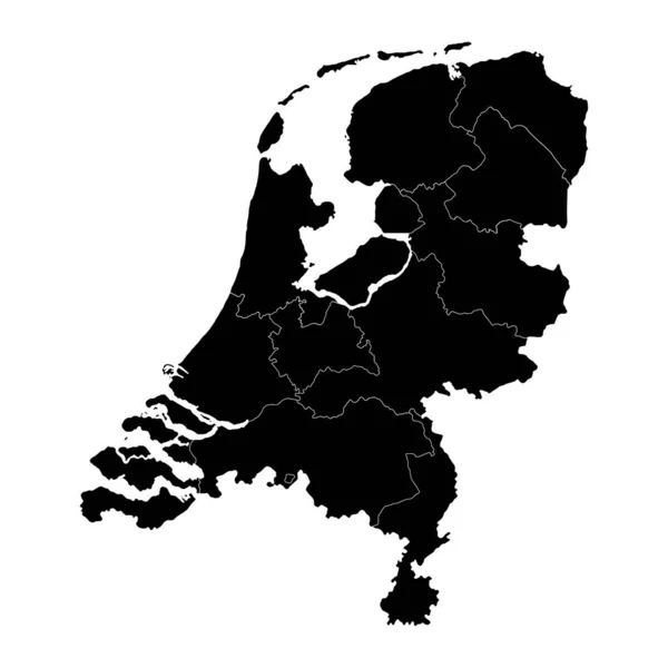
Stock vector Detailed Black Flat Geographical Map of Benelux (Belgium, the Netherlands, Luxembourg)
Published:
Nov.23, 2020 09:01:16
Author:
momcilo.jovanov
Views:
1
Downloads:
0
File type:
vector
/
eps
File size:
0.49 MB
Orginal size:
3600
x
4800
px
Available sizes:
S
(375 x 500)
M
(750 x 1000)
L
(1500 x 2000)
XL
(3600 x 4800)
VECT
(3600 x 4800)
EL0
(3600 x 4800)
Level:
bronze
Download Vector
Vector topics:
Color
White
Vector
Background
Graphic
Illustration
Design
Isolated
Shape
Sign
Art
Travel
Abstract
European
Border
Flag
Banner
Symbol
Concept
Icon
City
Contour
Earth
World
Europe
Outline
Country
Map
Cartography
Geography
National
Continent
State
Emblem
Patriotism
Political
Administrative
Republic
Eu
Official
Region
Patriotic
Province
Nation
Similar stock vectors
Detailed Grey Flat Geographical Map Of Benelux (Belgium, The Netherlands, Luxembourg)
3600 × 4800
Map Of Thr Netherlands
4000 × 5000
Black Location Map Of The Dutch Province Of Limburg Within Grey Map Of Netherlands
3600 × 4800
Netherlands Silhouette Map
5000 × 5000
Netherlands State, Simply Vector Illustration
2717 × 3194
Netherlands Gray Map With Provinces. Vector Illustration.
8334 × 8334
Netherlands Map With Provinces. Vector Illustration.
8334 × 8334
Black Location Map Of The Dutch Province Of Drenthe Within Grey Map Of Netherlands
3600 × 4800