Home
Images
Vectors
Videos
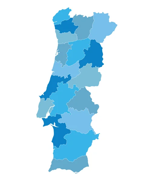
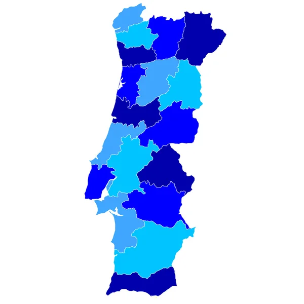
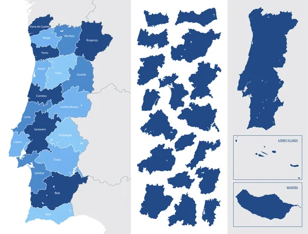
Stock vector Detailed blue map of Portugal with administrative divisions, major cities on a white background, vector illustration
Published:
Jan.19, 2021 15:23:01
Author:
martinova4
Views:
4
Downloads:
0
File type:
vector
/
eps
File size:
1.74 MB
Orginal size:
7087
x
5388
px
Available sizes:
S
(500 x 380)
M
(1000 x 760)
L
(2000 x 1521)
XL
(7087 x 5388)
VECT
(7087 x 5388)
EL0
(7087 x 5388)
Level:
beginner
Download Vector
Vector topics:
Blue
Vector
Background
Isolated
Travel
Sea
Border
Flag
Symbol
Icon
City
Contour
Education
World
Template
Ocean
Tourism
Europe
Globe
South
Country
Map
Cartography
Geography
Area
National
Continent
Land
Portugal
State
Political
Administrative
Atlantic
Braga
Geographic
Europa
Region
Atlas
Province
Nation
Porto
Portuguese
Lisboa
Madeira
Autonomous
Regions
Simplified
Coimbra
Infographic
Beja
Similar stock vectors
Blue Map Of Spain And The Islands, With Administrative Divisions Into Autonomous Communities And Islands, Vector Illustration On A White Background
8858 × 4411
Portugal
4520 × 4520
Turkey Map. Cities Regions Vector Illustration
8898 × 4584
Portugal
4520 × 4520
Blue Map Of Portugal (districts On Separate Layers)
3655 × 4300
Detailed, Vector, Blue Map Of Belgium With Administrative Divisions Into Regions Country
7677 × 3655
Portugal
4520 × 4520
Detailed Vector Blue Map Of Luxembourg With Administrative Divisions Into District And Cantons Of The Country
7677 × 4743