Home
Images
Vectors
Videos
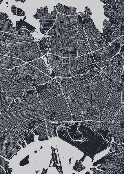
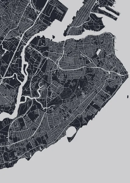
Stock vector Detailed borough map of Staten Island New York city, monochrome vector poster or postcard city street plan aerial view
Published:
Jun.18, 2020 08:07:03
Author:
Max_776
Views:
35
Downloads:
1
File type:
vector
/
eps
File size:
10.81 MB
Orginal size:
5716
x
8001
px
Available sizes:
S
(357 x 500)
M
(714 x 1000)
L
(1429 x 2000)
XL
(5716 x 8001)
VECT
(5716 x 8001)
EL0
(5716 x 8001)
Level:
bronze
Download Vector
Vector topics:
Vector
View
Illustration
Art
Travel
Silhouette
Road
Traffic
Architecture
City
Downtown
Urban
Planning
Street
Usa
Artwork
Grid
Highway
Detailed
Landmark
Town
Top
Outline
District
Map
Cartography
Plan
Area
Postcard
State
Poster
America
Island
Suburb
Aerial
Gps
Atlas
Neighborhood
Metropolitan
Ny
Nyc
Borough
Printable
Districts
Urbanism
Staten
New York
Big Apple
Artmap
Richmond County
Similar stock vectors
Detailed Borough Map Of Queens New York City, Monochrome Vector Poster Or Postcard City Street Plan Aerial View
5715 × 8001
City Map Oslo, Monochrome Detailed Plan, Vector Illustration
4219 × 5906
City Map Istanbul, Monochrome Detailed Plan, Vector Illustration
4219 × 5906
Vector Detailed Map Rio De Janeiro
4220 × 5906
Shenzhen Vector Map. Detailed Map Of Shenzhen City Administrative Area. Cityscape Panorama. Royalty Free Vector Illustration. Road Map With Highways, Rivers.
4554 × 4001
City Map Helsinki, Monochrome Detailed Plan, Vector Illustration
4219 × 5906
City Map Boston, Monochrome Detailed Plan, Vector Illustration
4219 × 5906
Vector Map Of The City Of Lisbon, Portugal
5621 × 4963