photo free
Home Images Vectors Videos

Stock vector Detailed hand-drawn navigational urban street roads map of the KOOIGEM MUNICIPALITY of the Belgian city of KORTRIJK, Belgium with vivid road lines and name tag on solid background

Stock vector Detailed hand-drawn navigational urban street roads map of the KOOIGEM MUNICIPALITY of the Belgian city of KORTRIJK, Belgium with vivid road lines and name tag on solid background
Published: Mar.29, 2023 11:48:56
Author: momcilo.jovanov
Views: 1
Downloads: 1
File type: vector / eps
File size: 0.46 MB
Orginal size: 5200 x 4800 px
Available sizes:
S
(500 x 462)
M
(1000 x 923)
L
(2000 x 1846)
XL
(5200 x 4800)
VECT
(5200 x 4800)
EL0
(5200 x 4800)
Level: bronze
Download Vector
Vector topics:

Similar stock vectors

stock vector Detailed hand-drawn navigational urban street roads map of the ROLLEGEM MUNICIPALITY of the Belgian city of KORTRIJK, Belgium with vivid road lines and name tag on solid background

Detailed Hand-drawn Navigational Urban Street Roads Map Of The ROLLEGEM MUNICIPALITY Of The Belgian City Of KORTRIJK, Belgium With Vivid Road Lines And Name Tag On Solid Background

3900 × 6400
stock vector Detailed hand-drawn navigational urban street roads map of the BISSEGEM MUNICIPALITY of the Belgian city of KORTRIJK, Belgium with vivid road lines and name tag on solid background

Detailed Hand-drawn Navigational Urban Street Roads Map Of The BISSEGEM MUNICIPALITY Of The Belgian City Of KORTRIJK, Belgium With Vivid Road Lines And Name Tag On Solid Background

5700 × 4300
stock vector Detailed hand-drawn navigational urban street roads map of the BELLEGEM MUNICIPALITY of the Belgian city of KORTRIJK, Belgium with vivid road lines and name tag on solid background

Detailed Hand-drawn Navigational Urban Street Roads Map Of The BELLEGEM MUNICIPALITY Of The Belgian City Of KORTRIJK, Belgium With Vivid Road Lines And Name Tag On Solid Background

4700 × 5300
stock vector Detailed negative navigation white lines urban street roads map of the KERSPLEBEN DISTRICT of the German regional capital city of Erfurt, Germany on dark gray background

Detailed Negative Navigation White Lines Urban Street Roads Map Of The KERSPLEBEN DISTRICT Of The German Regional Capital City Of Erfurt, Germany On Dark Gray Background

5100 × 4900
stock vector Detailed negative navigation white lines urban street roads map of the OVERHAGEN DISTRICT of the German regional capital city of Bottrop, Germany on dark gray background

Detailed Negative Navigation White Lines Urban Street Roads Map Of The OVERHAGEN DISTRICT Of The German Regional Capital City Of Bottrop, Germany On Dark Gray Background

3900 × 6300
stock vector Detailed hand-drawn navigational urban street roads map of the NIEUWERKERKEN COMMUNE of the Belgian city of AALST, Belgium with vivid road lines and name tag on solid background

Detailed Hand-drawn Navigational Urban Street Roads Map Of The NIEUWERKERKEN COMMUNE Of The Belgian City Of AALST, Belgium With Vivid Road Lines And Name Tag On Solid Background

4400 × 5600
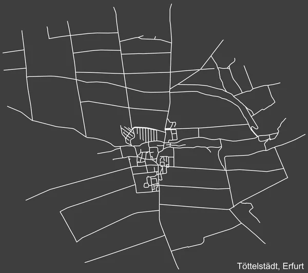
stock vector Detailed negative navigation white lines urban street roads map of the TTTELSTDT DISTRICT of the German regional capital city of Erfurt, Germany on dark gray background

Detailed Negative Navigation White Lines Urban Street Roads Map Of The TTTELSTDT DISTRICT Of The German Regional Capital City Of Erfurt, Germany On Dark Gray Background

5300 × 4700
stock vector Detailed negative navigation white lines urban street roads map of the JEDUTENBERG QUARTER of the German regional capital city of Bremerhaven, Germany on dark gray background

Detailed Negative Navigation White Lines Urban Street Roads Map Of The JEDUTENBERG QUARTER Of The German Regional Capital City Of Bremerhaven, Germany On Dark Gray Background

5100 × 4900