photo free
Home Images Vectors Videos

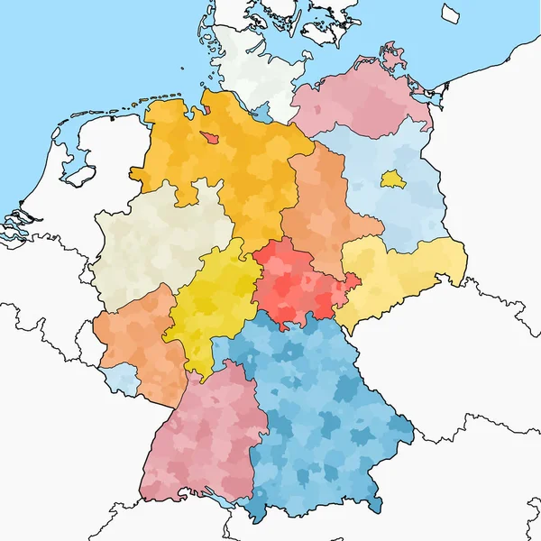
Stock vector Detailed location map of Germany in Europe with administrative divisions into federal states and regions of the country, vector illustration
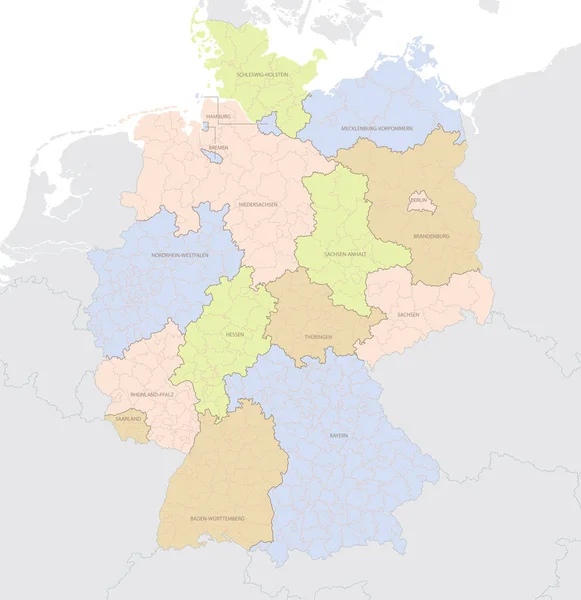
Stock vector Detailed location map of Germany in Europe with administrative divisions into federal states and regions of the country, vector illustration
Published: Jan.19, 2021 15:23:01
Author: martinova4
Views: 3
Downloads: 0
File type: vector / eps
File size: 3.78 MB
Orginal size: 7677 x 7917 px
Available sizes:
S
(485 x 500)
M
(970 x 1000)
L
(1939 x 2000)
XL
(7677 x 7917)
VECT
(7677 x 7917)
EL0
(7677 x 7917)
Level: beginner
Download Vector
Vector topics:

Similar stock vectors

stock vector west european country germany and the federal states

West European Country Germany And The Federal States

8339 × 8339
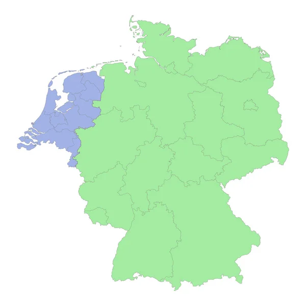
stock vector High quality political map of Germany and Netherlands with borders of the regions or provinces. Vector illustration

High Quality Political Map Of Germany And Netherlands With Borders Of The Regions Or Provinces. Vector Illustration

4000 × 4000
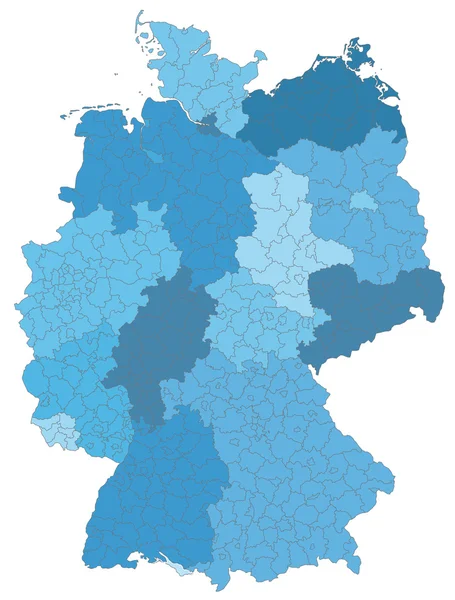
stock vector Map of Germany

Map Of Germany

3620 × 4773
stock image Germany population heat map as color density illustration

Germany Population Heat Map As Color Density Illustration

6406 × 8500
stock image map of the world, copy space

Map Of The World, Copy Space

3900 × 5000
stock vector Germany -  political map with separated layers.

Germany - Political Map With Separated Layers.

4101 × 5603
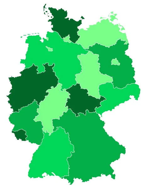
stock vector Map of Germany

Map Of Germany

4000 × 5000
stock vector Germany map divided on regions for infographic

Germany Map Divided On Regions For Infographic

4500 × 4500