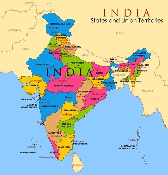
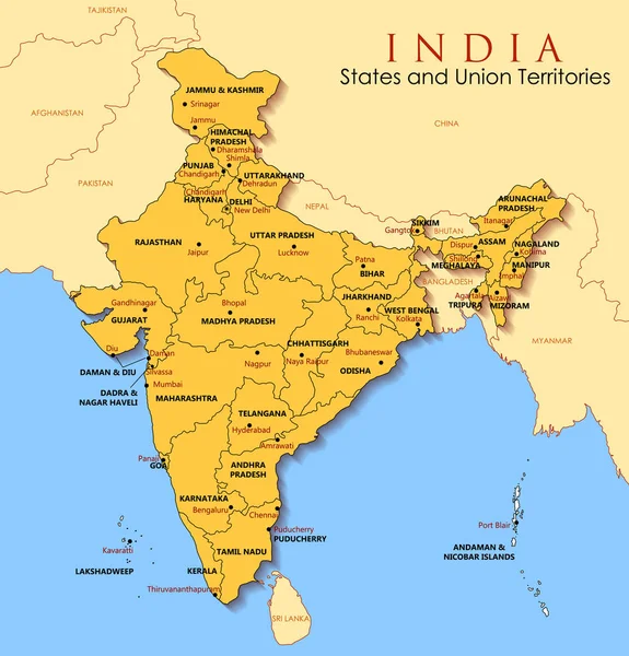
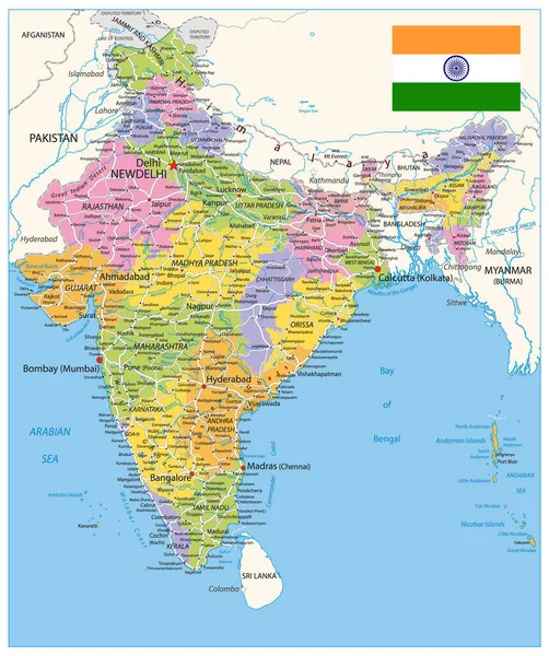
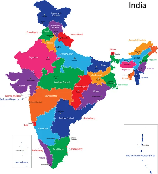
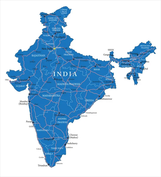
Stock vector Detailed map of India, Asia with all states and country boundary
Published: Dec.25, 2017 11:38:05
Author: vectomart
Views: 1439
Downloads: 2
File type: vector / eps
File size: 3.06 MB
Orginal size: 5000 x 5208 px
Available sizes:
Level: gold