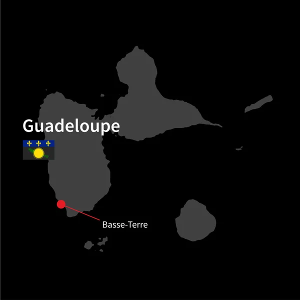
Stock vector Detailed map of Niue and capital city Alofi with flag on black background

Published: Mar.30, 2015 11:44:36
Author: tkacchuk
Views: 62
Downloads: 1
File type: vector / eps
File size: 3.28 MB
Orginal size: 5867 x 5867 px
Available sizes:
Level: silver