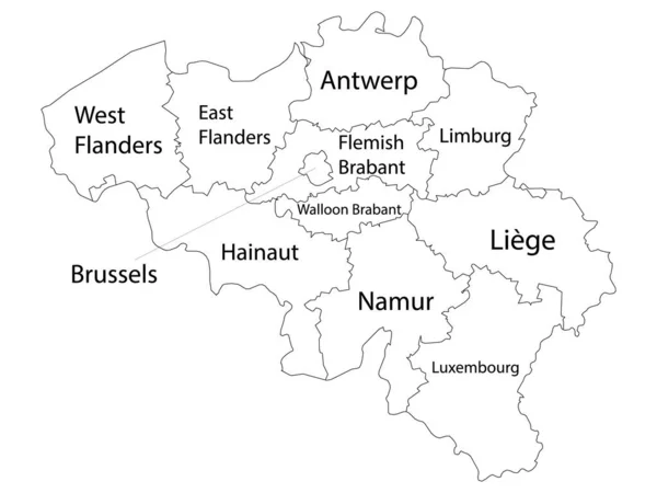
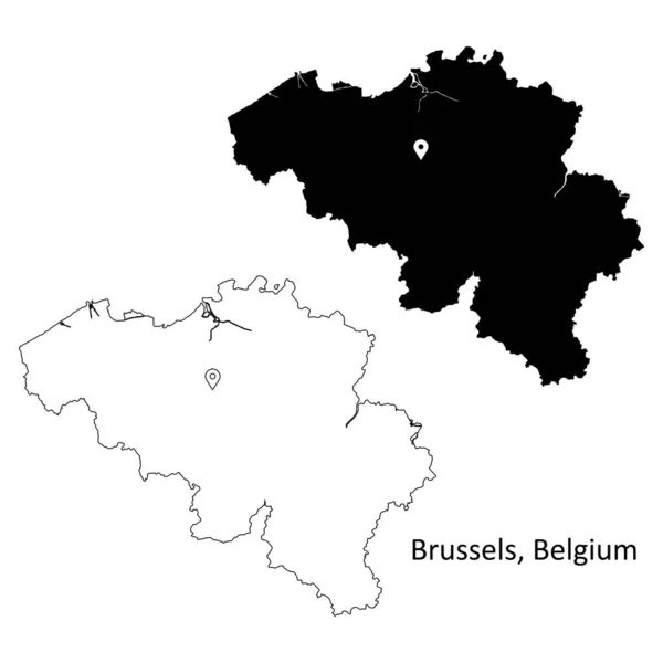
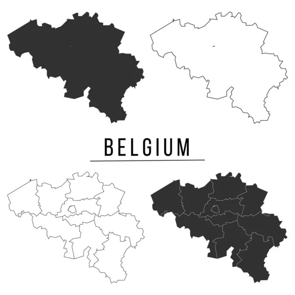
Stock vector Detailed map of the Belgian Regions of Wallonia and Brussels-Capital (Belgium) with borders of municipalities, districts, provinces, and regions. Vector illustration

Published: Jun.01, 2017 08:26:07
Author: Dorky
Views: 324
Downloads: 6
File type: vector / eps
File size: 5.63 MB
Orginal size: 5000 x 5000 px
Available sizes:
Level: beginner