Home
Images
Vectors
Videos
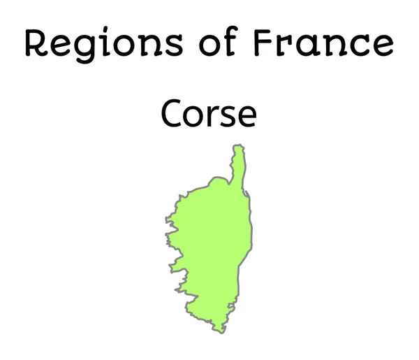
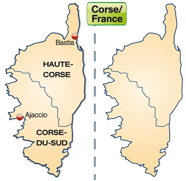
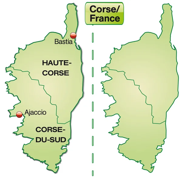
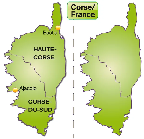
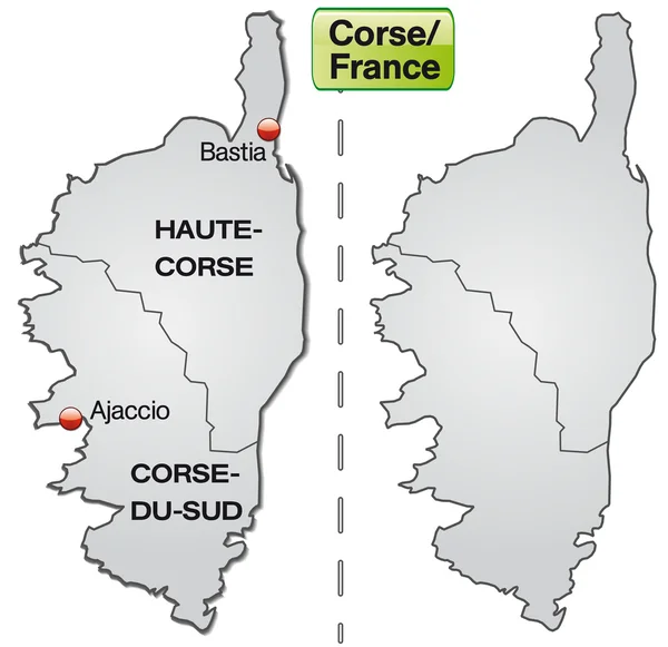
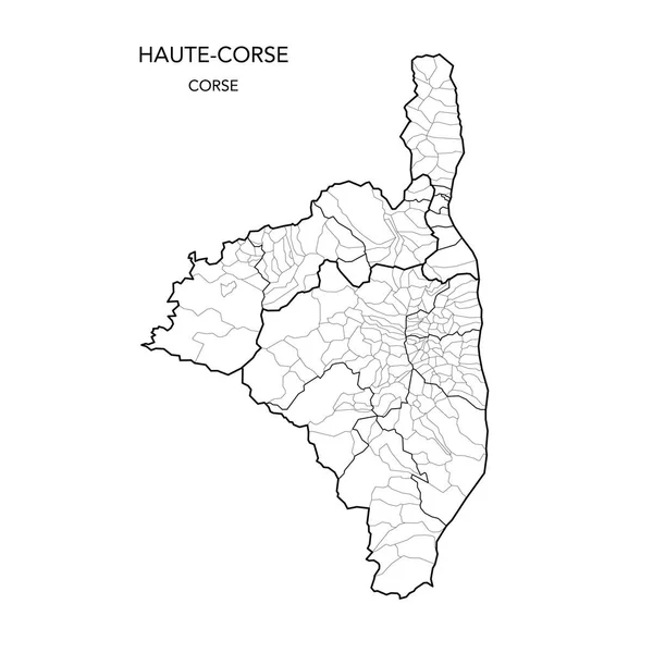
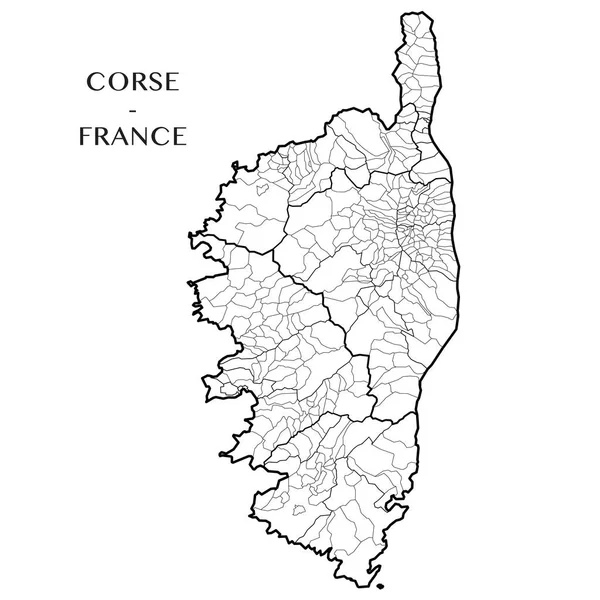
Stock vector Detailed map of the French region of Corsica (Corse, France) with borders of municipalities, subdistricts (cantons), districts (arrondissements), departments (departements), and region
Published:
Apr.20, 2017 09:12:39
Author:
Dorky
Views:
156
Downloads:
2
File type:
vector
/
eps
File size:
2.07 MB
Orginal size:
5000
x
5000
px
Available sizes:
S
(500 x 500)
M
(1000 x 1000)
L
(2000 x 2000)
XL
(5000 x 5000)
VECT
(5000 x 5000)
EL0
(5000 x 5000)
Level:
beginner
Download Vector
Vector topics:
White
Vector
Background
Illustration
French
Line
Border
Village
Blank
Wallpaper
Education
France
Detailed
Town
Europe
District
Map
Cartography
Geography
Mediterranean
Accurate
Island
Political
Administrative
Internal
Department
Region
Precise
Boundaries
Limit
Territory
Administration
Province
Subdivision
County
Borough
Township
Municipality
Contours
Corsica
Collectivity
Geopolitical
Corse
Corse Du Sud
Haute Corse
Subdistrict
Similar stock vectors
France Administrative Map Of Corsica
4821 × 4139
Map Of Corsica
4170 × 4044
Map Of Corsica
4170 × 4044
Map Of Corsica
4170 × 4044
Map Of Corsica
4169 × 4042
Corsica To France As An Island Map (the Area There Is Exempt) With Borders In Pastel Green. The Card Can Be Used Immediately For Your Project.
4288 × 4272
Detailed Map Of The French Region Of Provence Alpes Cote D'Azur (France) With Borders Of Municipalities, Subdistricts (cantons), Districts (arrondissements), Departments (departements), And Region
5000 × 5000
Vector Map Of The Geopolitical Subdivisions Of The French Department Of Haute-Corse With Arrondissements, Cantons And Municipalities As Of 2022 - Corse - France
3000 × 3000