photo free
Home Images Vectors Videos

Stock vector Detailed map of the French region of Pays de la Loire (France) with borders of municipalities, subdistricts (cantons), districts (arrondissements), departments (departements), and region
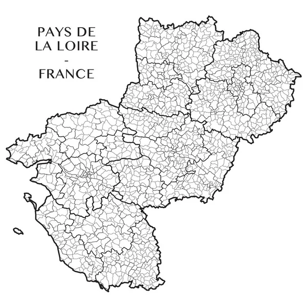
Stock vector Detailed map of the French region of Pays de la Loire (France) with borders of municipalities, subdistricts (cantons), districts (arrondissements), departments (departements), and region
Published: Apr.20, 2017 09:12:39
Author: Dorky
Views: 133
Downloads: 1
File type: vector / eps
File size: 4.56 MB
Orginal size: 5000 x 5000 px
Available sizes:
S
(500 x 500)
M
(1000 x 1000)
L
(2000 x 2000)
XL
(5000 x 5000)
VECT
(5000 x 5000)
EL0
(5000 x 5000)
Level: beginner
Download Vector
Vector topics:

Similar stock vectors

stock vector Interactive map of metropolitans French regions on white background

Interactive Map Of Metropolitans French Regions On White Background

4167 × 4167
stock vector country France silhouette

Country France Silhouette

5079 × 5079
stock vector Detailed map of the French region Centre Val de Loire (France) with borders of municipalities, subdistricts (cantons), districts (arrondissements), departments (departements), and region

Detailed Map Of The French Region Centre Val De Loire (France) With Borders Of Municipalities, Subdistricts (cantons), Districts (arrondissements), Departments (departements), And Region

5000 × 5000
stock vector France map, new regions

France Map, New Regions

4445 × 5000
stock image France map, new regions

France Map, New Regions

4445 × 5000
stock vector outline of France map (all regions on separate layers)

Outline Of France Map (all Regions On Separate Layers)

4000 × 4000
stock vector silhouettes of european country France and new regions

Silhouettes Of European Country France And New Regions

9862 × 7087
stock vector Outline map of France

Outline Map Of France

6401 × 6893