Home
Images
Vectors
Videos
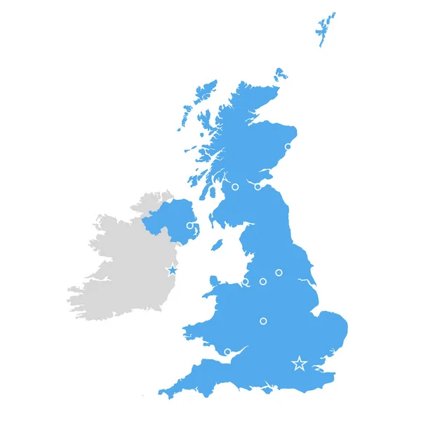
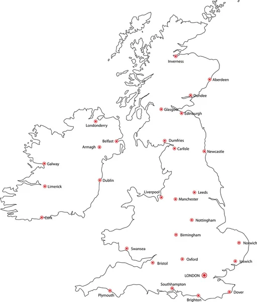
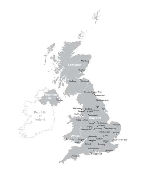
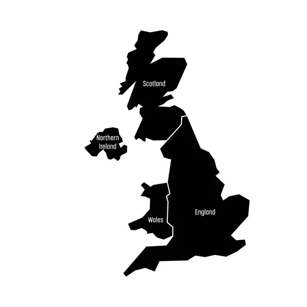
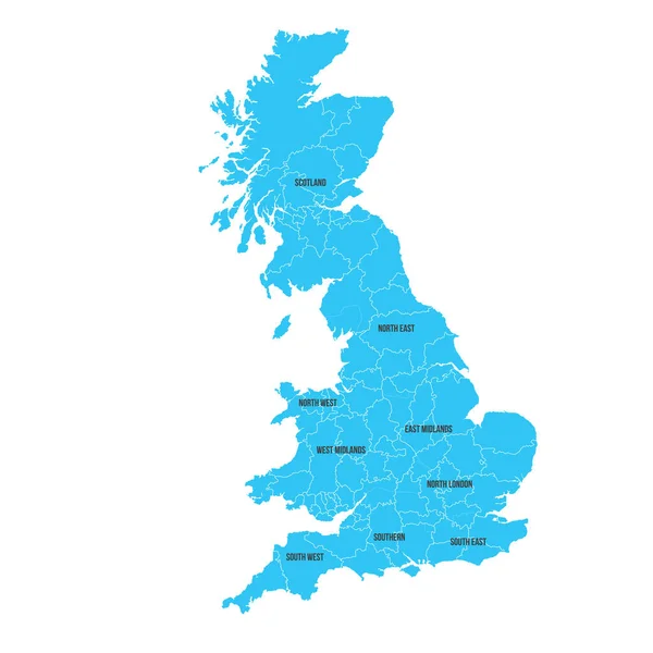
Stock vector detailed map of the United Kingdom with cities
Published:
Sep.14, 2018 14:13:09
Author:
grebeshkovmaxim@gmail.com
Views:
21
Downloads:
0
File type:
vector
/
eps
File size:
5.01 MB
Orginal size:
4000
x
4000
px
Available sizes:
S
(500 x 500)
M
(1000 x 1000)
L
(2000 x 2000)
XL
(4000 x 4000)
VECT
(4000 x 4000)
EL0
(4000 x 4000)
Level:
silver
Download Vector
Vector topics:
Vector
Detail
Border
Flag
Icon
World
North
Northern
Europe
Country
Map
Cartography
Geography
National
Ireland
Land
Uk
Chart
Great
Island
Administrative
Union
United
Kingdom
Britain
London
Region
English
British
England
Atlas
Wales
Scotland
County
Cornwall
Kent
Isles
Leeds
Essex
Norfolk
Glasgow
Bristol
Sussex
Birmingham
Belfast
Tyrone
Great Britain
United Kingdom
Devision
Similar stock vectors
Great Britain Map - United Kingdom, Scotland And Ireland Contour
6000 × 6000
Black Outline Vector Map Of The British Isles & Cities
3239 × 3790
Map Of Italy With Green And White Flag Of Ireland
5000 × 5000
UNITED KINGDOM MAP With Big Cities, UK MAP With Borders On Grey Background
4167 × 5000
United Kingdom, Aka UK, Of Great Britain And Northern Ireland Map. Divided To Four Countries - England, Wales, Scotland And NI. Simple Flat Vector Illustration
4000 × 4000
United Kingdom. Great Britan Map. Vector Map Isolated On White Background.
6000 × 6000
Polygonal Mesh United Kingdom Map With Coronavirus Centers. Abstract Network Lines, Triangles And Covid- 2019 Viruses Form United Kingdom Map.
3050 × 5245
Great Britain Vector Graphics Map And Coronavirus
5906 × 5906