Home
Images
Vectors
Videos
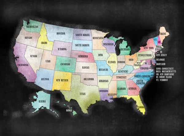
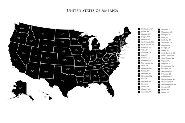
Stock vector Detailed map of the USA, each state is signed and highlighted, the states are located on the largest territory, Colorful infographic of the United States of America, vector illustration
Published:
Dec.16, 2019 19:59:56
Author:
martinova4
Views:
31
Downloads:
6
File type:
vector
/
eps
File size:
5.89 MB
Orginal size:
11205
x
5237
px
Available sizes:
S
(500 x 234)
M
(1000 x 467)
L
(2000 x 935)
XL
(11205 x 5237)
VECT
(11205 x 5237)
EL0
(11205 x 5237)
Level:
beginner
Download Vector
Vector topics:
Colours
Illustration
Design
Abstract
Border
Flag
City
Global
Physical
Earth
Us
Usa
Ocean
Detailed
Clip Art
District
Map
Cartography
Geography
Continent
Land
Contiguous
State
Texas
Puzzle
Location
America
Countries
Administrative
United
Washington
Region
Separated
Federal
Atlas
Nation
Ny
Vermont
Travels
Wyoming
Chicago
Dakota
Carolina
Regions
Philadelphia
Ohio
Dallas
Infographics
Los Angeles
San Diego
Similar stock vectors
Modern Map - USA With Coloured Federal States Illustration
8975 × 6500
United States Of America Infographic, USA State Maps By Territory Area, Detailed Vector Illustration
8213 × 5435
United States Of America Map Silhouette With States And Borders On White Background Illustration
6000 × 4000
USA Map Typography. United States Of America Map Typography Art. UAS Map Lettering With All States Name.
3753 × 3753
Blackboard Or Chalkboard U.S.A. American States Map
3920 × 2912
Gold Square Pattern Map Of USA And Alaska
6308 × 3328
USA Map Card Poster. Vector
5000 × 4000