photo free
Home Images Vectors Videos

Stock vector Detailed map of U.S. Virgin Islands and capital city Charlotte Amalie with flag on black background
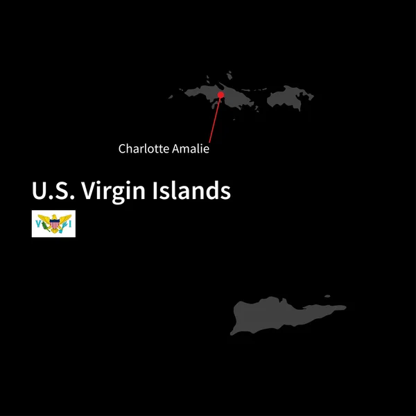
Stock vector Detailed map of U.S. Virgin Islands and capital city Charlotte Amalie with flag on black background
Published: Mar.30, 2015 11:44:42
Author: tkacchuk
Views: 118
Downloads: 1
File type: vector / eps
File size: 3.44 MB
Orginal size: 5867 x 5867 px
Available sizes:
S
(500 x 500)
M
(1000 x 1000)
L
(2000 x 2000)
XL
(5867 x 5867)
VECT
(5867 x 5867)
EL0
(5867 x 5867)
Level: silver
Download Vector
Vector topics:

Similar stock vectors

stock vector Virgin Islands Political Map

Virgin Islands Political Map

6000 × 7810
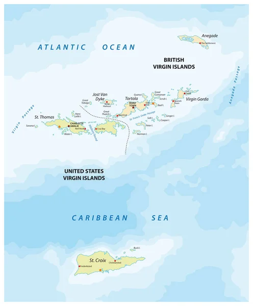
stock vector united states and british virgin islands vector map

United States And British Virgin Islands Vector Map

3100 × 3750
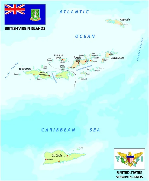
stock vector united states and british virgin islands vector map with flags

United States And British Virgin Islands Vector Map With Flags

3917 × 4000
stock vector U.S. and British Virgin islands highly detailed physical map

U.S. And British Virgin Islands Highly Detailed Physical Map

6080 × 7500
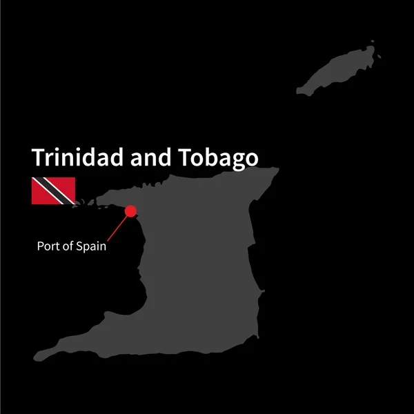
stock vector Detailed map of Trinidad and Tobago and capital city Port of Spain with flag on black background

Detailed Map Of Trinidad And Tobago And Capital City Port Of Spain With Flag On Black Background

5867 × 5867
stock vector political map of Jamaica isolated on white background

Political Map Of Jamaica Isolated On White Background

6000 × 6000
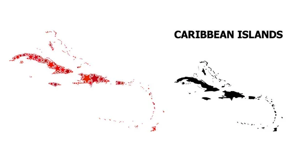
stock vector Red Starred Mosaic Map of Caribbean Islands

Red Starred Mosaic Map Of Caribbean Islands

6390 × 3568
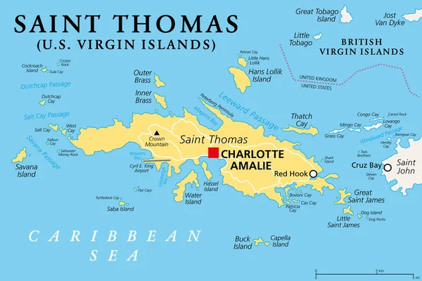
stock vector Saint Thomas, United States Virgin Islands, political map. One of the three largest islands of the USVI.  The territorial capital and port of Charlotte Amalie is located on this island. Vector.

Saint Thomas, United States Virgin Islands, Political Map. One Of The Three Largest Islands Of The USVI. The Territorial Capital And Port Of Charlotte Amalie Is Located On This Island. Vector.

8981 × 6000