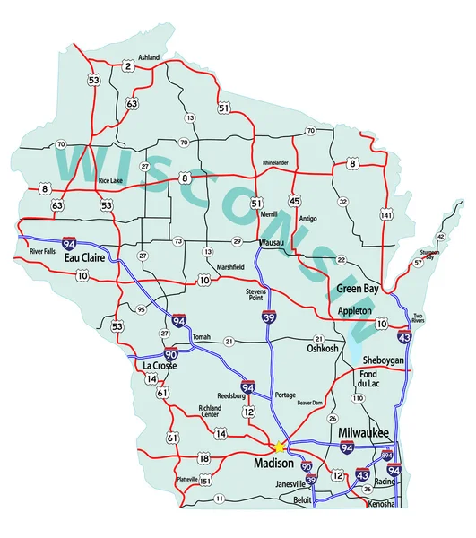
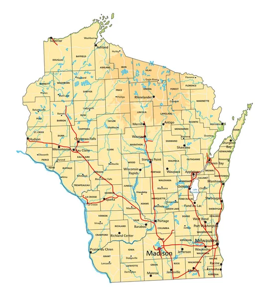
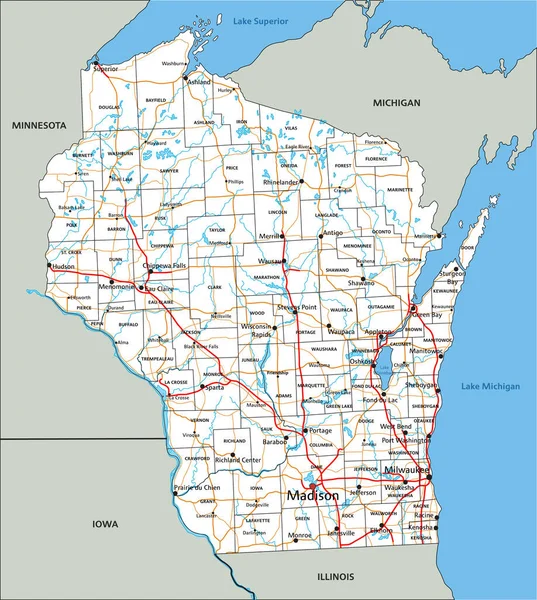
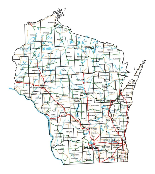
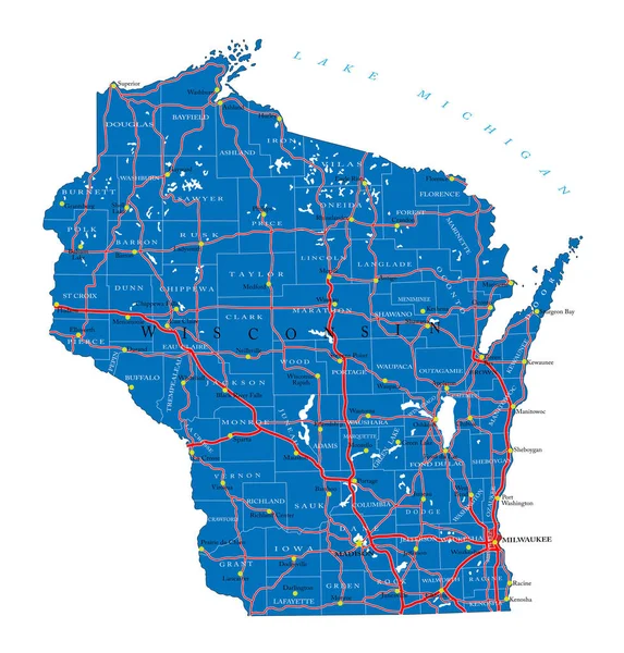
Stock vector Detailed map of Wisconsin state,in vector format,with county borders,roads and major cities
Published: Jul.06, 2020 09:06:42
Author: BogdanSerban
Views: 56
Downloads: 2
File type: vector / eps
File size: 3.68 MB
Orginal size: 4778 x 4998 px
Available sizes:
Level: beginner