photo free
Home Images Vectors Videos

Stock vector Detailed vector map of Angola with country borders, county names, main roads and a highly detailed state silhouette

Stock vector Detailed vector map of Angola with country borders, county names, main roads and a highly detailed state silhouette
Published: Jul.06, 2020 08:59:19
Author: BogdanSerban
Views: 6
Downloads: 0
File type: vector / eps
File size: 1.5 MB
Orginal size: 4085 x 5000 px
Available sizes:
S
(409 x 500)
M
(817 x 1000)
L
(1634 x 2000)
XL
(4085 x 5000)
VECT
(4085 x 5000)
EL0
(4085 x 5000)
Level: beginner
Download Vector
Vector topics:

Similar stock vectors

stock vector detailed roads and national park map of namibia

Detailed Roads And National Park Map Of Namibia

6560 × 6272
stock vector Vector roads and national park map of southwestern africa

Vector Roads And National Park Map Of Southwestern Africa

3468 × 3321
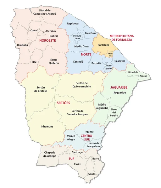
stock vector ceara administrative and political vector map

Ceara Administrative And Political Vector Map

3100 × 3631
stock vector Highly detailed editable political map with separated layers. Hungary.

Highly Detailed Editable Political Map With Separated Layers. Hungary.

5674 × 3642
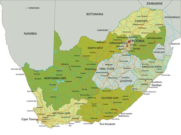
stock vector Highly detailed editable political map with separated layers. South Africa.

Highly Detailed Editable Political Map With Separated Layers. South Africa.

5671 × 4252
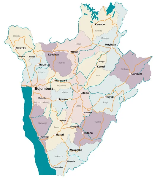
stock vector Large and detailed map of the state of Burundi in Africa

Large And Detailed Map Of The State Of Burundi In Africa

4413 × 5000
stock vector Highly detailed editable political map with separated layers. South Africa.

Highly Detailed Editable Political Map With Separated Layers. South Africa.

5673 × 4254
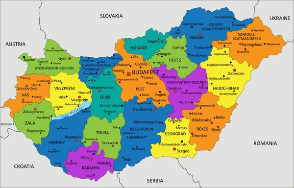
stock vector Colorful Hungary political map with clearly labeled, separated layers. Vector illustration.

Colorful Hungary Political Map With Clearly Labeled, Separated Layers. Vector Illustration.

5674 × 3642