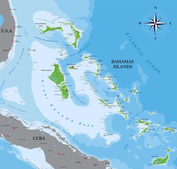
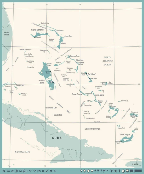
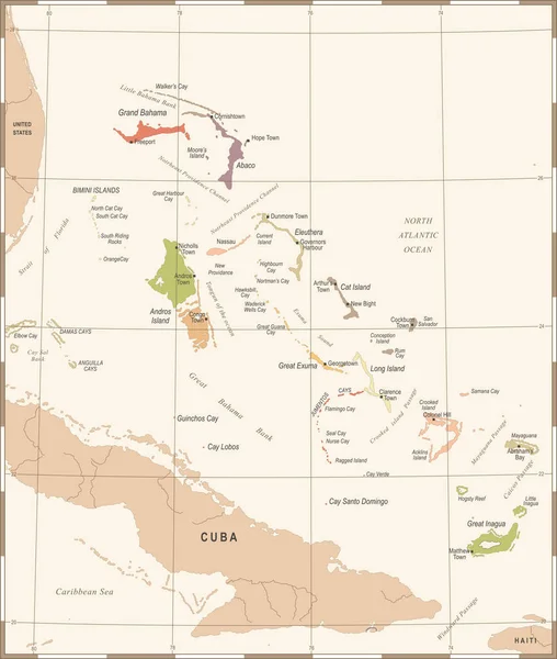
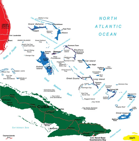
Stock vector Detailed vector map of Bahamas with country borders, county names, main roads and a highly detailed state silhouette.
Published: Jul.06, 2020 08:59:19
Author: BogdanSerban
Views: 4
Downloads: 0
File type: vector / eps
File size: 1.82 MB
Orginal size: 4916 x 5000 px
Available sizes:
Level: beginner