Home
Images
Vectors
Videos
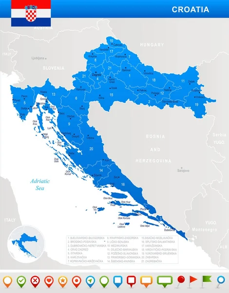
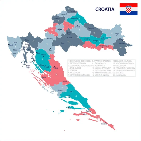
Stock vector Detailed vector map of regions of Croatia with flag
Published:
May.20, 2021 08:47:04
Author:
martinova4
Views:
4
Downloads:
1
File type:
vector
/
eps
File size:
11.44 MB
Orginal size:
7677
x
6333
px
Available sizes:
S
(500 x 412)
M
(1000 x 825)
L
(2000 x 1650)
XL
(7677 x 6333)
VECT
(7677 x 6333)
EL0
(7677 x 6333)
Level:
beginner
Download Vector
Vector topics:
Vector
Background
Isolated
Travel
Sea
Silhouette
Border
Flag
Symbol
Icon
City
Detailed
Europe
Outline
Country
District
Map
Cartography
Geography
Area
National
State
Split
Political
Administrative
Adriatic
Republic
Region
Croatia
Territory
Statistical
Atlas
Municipality
Dalmatia
Balkans
Zagreb
Provinces
Oblast
Rijeka
Counties
Zadar
Osijek
Karlovac
Sisak Moslavina
Brod Posavina
Dubrovnik Neretva
Lika Senj
Vukavar Syrmia
Similar stock vectors
Croatia Outline Map Set
4582 × 4204
Weather Collage Map Of Croatia
6242 × 3482
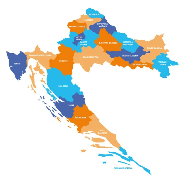
Croatia Map With Shapes Of Regions Blank Vector Map Of The Country With Regions Borders Of The
4093 × 7366
Croatia - Map, Flag And Navigation Icons - Detailed Vector Illustration
5500 × 7007
Map Of The Croatia In The Colors Of The Flag With Administrative Divisions Vector
4258 × 4000
Detailed Location Map Of Croatia In Europe With Administrative Divisions Of The Country, Vector Illustration
7087 × 6927
Croatia - Map Of Counties
6000 × 6000
Croatia - Map And Flag - Detailed Vector Illustration
5500 × 5500