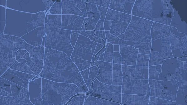
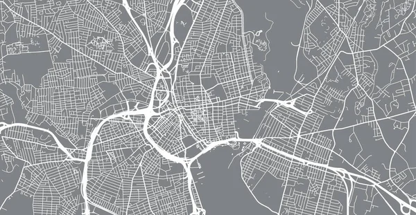
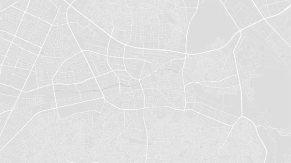
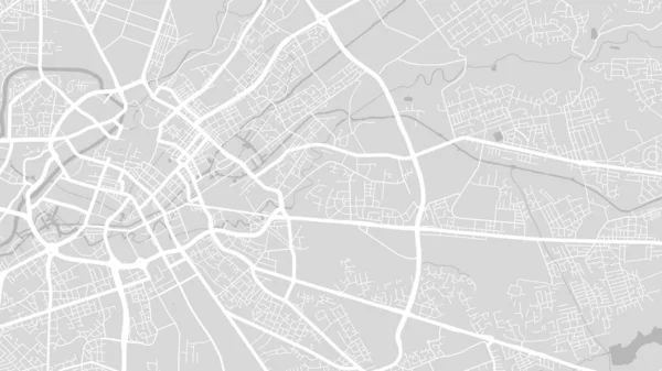
Stock vector Detailed vector map poster of Harare city administrative area. Blue skyline panorama. Decorative graphic tourist map of Harare territory. Royalty free vector illustration.

Published: Nov.17, 2022 11:23:01
Author: Litteralis
Views: 1
Downloads: 0
File type: vector / eps
File size: 6.78 MB
Orginal size: 5501 x 3001 px
Available sizes:
Level: bronze