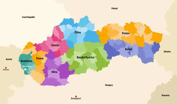
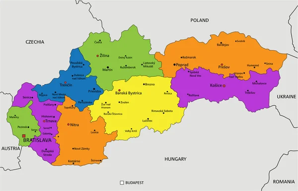
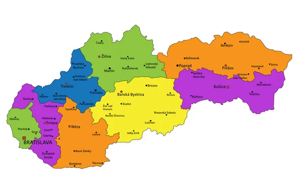
Stock vector Districts (okresy) of Slovakia colored by regions vector map with neighbouring countries and territories
Published: Dec.09, 2020 16:27:44
Author: Jktu_21
Views: 2
Downloads: 0
File type: vector / eps
File size: 5.91 MB
Orginal size: 8334 x 4908 px
Available sizes:
Level: silver
Similar stock vectors
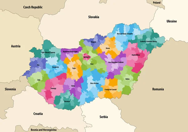
Vector Map Of Districts Of Hungary Colored By Counties With Neighbouring Countries And Territories
8334 × 5900
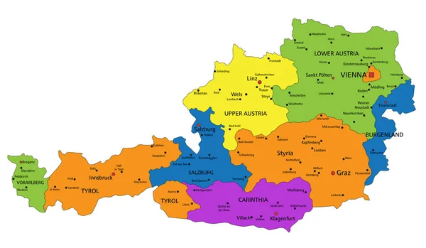
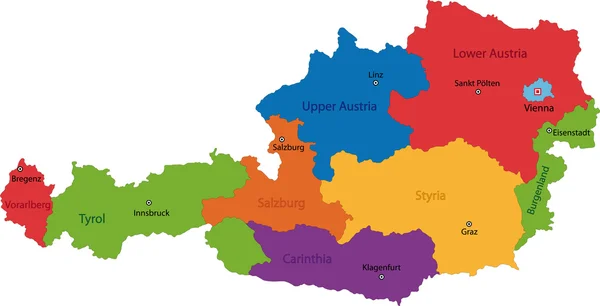
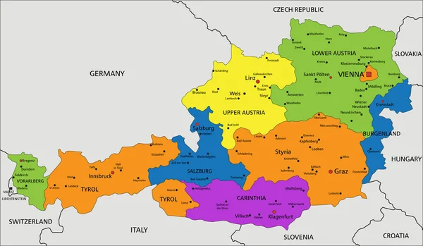
Colorful Austria Political Map With Clearly Labeled, Separated Layers. Vector Illustration.
5670 × 3300
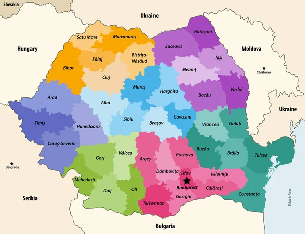
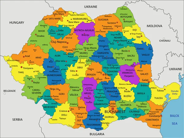
Counties Of Romania Colored By Regions With Neighbouring Countries And Territories Vector Map
8334 × 6395
Colorful Slovakia Political Map With Clearly Labeled, Separated Layers. Vector Illustration.
3101 × 1991
Colorful Slovakia Political Map With Clearly Labeled, Separated Layers. Vector Illustration.
3098 × 1988