photo free
Home Images Vectors Videos

Stock vector Dominica - detailed country outline and location on world map. Vector illustration

Stock vector Dominica - detailed country outline and location on world map. Vector illustration
Published: Nov.17, 2021 11:36:09
Author: gt29
Views: 1
Downloads: 0
File type: vector / eps
File size: 2.79 MB
Orginal size: 6615 x 5251 px
Available sizes:
S
(500 x 397)
M
(1000 x 794)
L
(2000 x 1588)
XL
(6615 x 5251)
VECT
(6615 x 5251)
EL0
(6615 x 5251)
Level: bronze
Download Vector
Vector topics:

Similar stock vectors

stock vector Ecuador - detailed country outline and location on world map. Vector illustration

Ecuador - Detailed Country Outline And Location On World Map. Vector Illustration

7560 × 5001
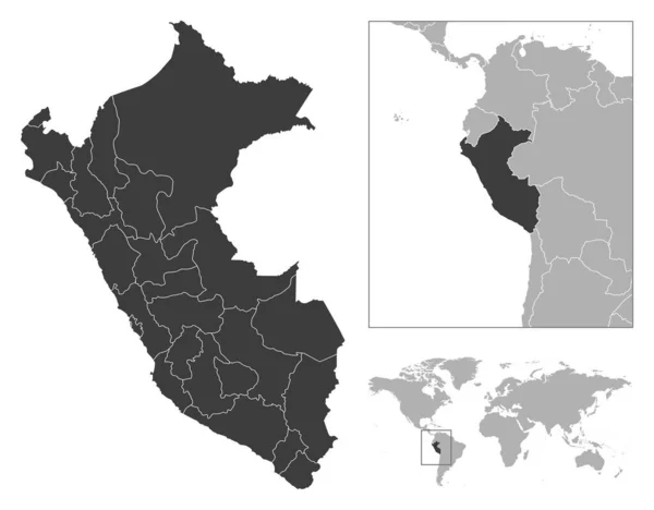
stock vector Peru - detailed country outline and location on world map. Vector illustration

Peru - Detailed Country Outline And Location On World Map. Vector Illustration

6719 × 5251
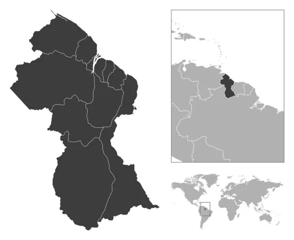
stock vector Guyana - detailed country outline and location on world map. Vector illustration

Guyana - Detailed Country Outline And Location On World Map. Vector Illustration

6421 × 5251
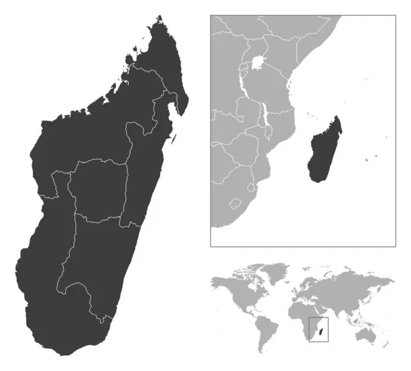
stock vector Madagascar - detailed country outline and location on world map. Vector illustration

Madagascar - Detailed Country Outline And Location On World Map. Vector Illustration

5817 × 5251
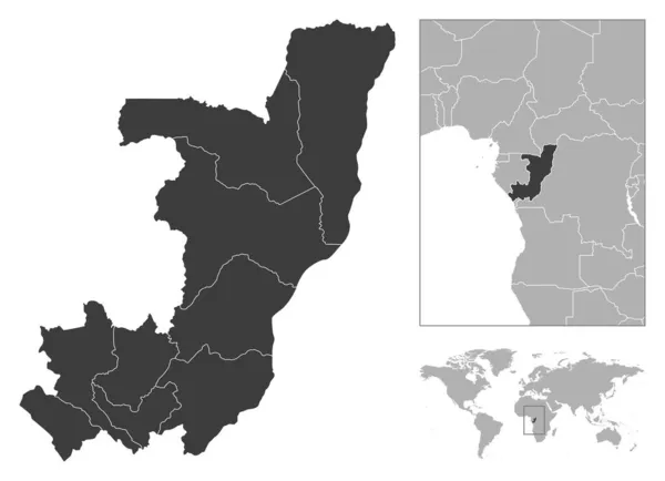
stock vector Republic of the Congo - detailed country outline and location on world map. Vector illustration

Republic Of The Congo - Detailed Country Outline And Location On World Map. Vector Illustration

7253 × 5251
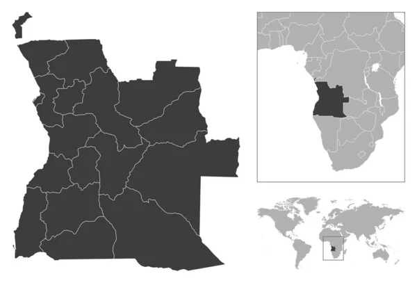
stock vector Angola - detailed country outline and location on world map. Vector illustration

Angola - Detailed Country Outline And Location On World Map. Vector Illustration

7373 × 5001
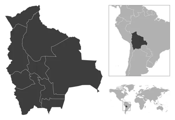
stock vector Bolivia - detailed country outline and location on world map. Vector illustration

Bolivia - Detailed Country Outline And Location On World Map. Vector Illustration

7299 × 5001
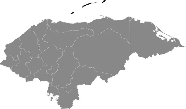
stock vector Black location map of the Honduran Islas de la Baha department inside gray map of Honduras

Black Location Map Of The Honduran Islas De La Baha Department Inside Gray Map Of Honduras

6004 × 3533