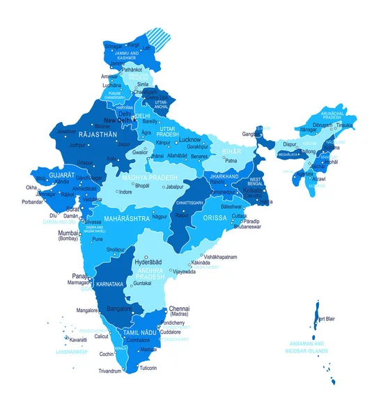
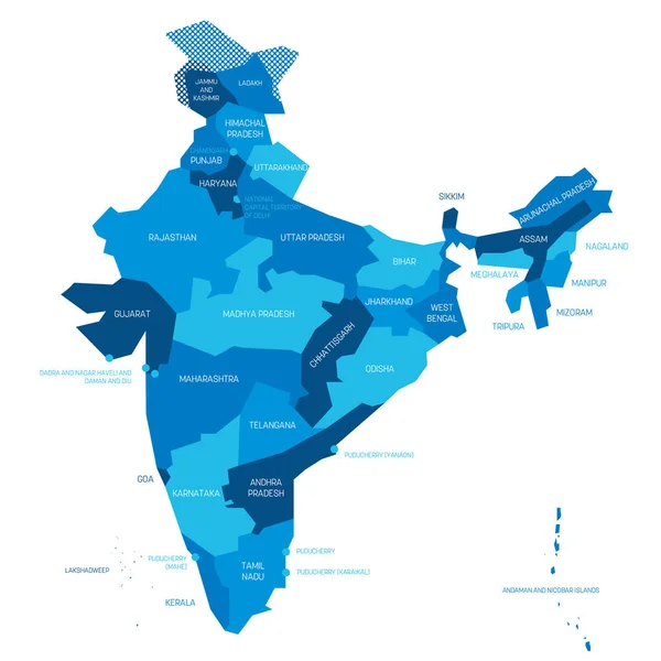
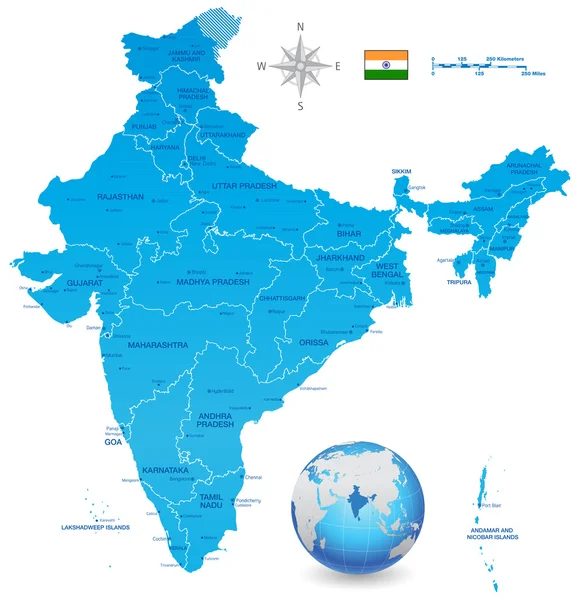
Stock vector Doodle freehand drawing India political map with major cities. Vector illustration.

Published: Mar.07, 2022 16:01:34
Author: tanarch
Views: 8
Downloads: 0
File type: vector / eps
File size: 8.35 MB
Orginal size: 8044 x 8045 px
Available sizes:
Level: bronze