Home
Images
Vectors
Videos
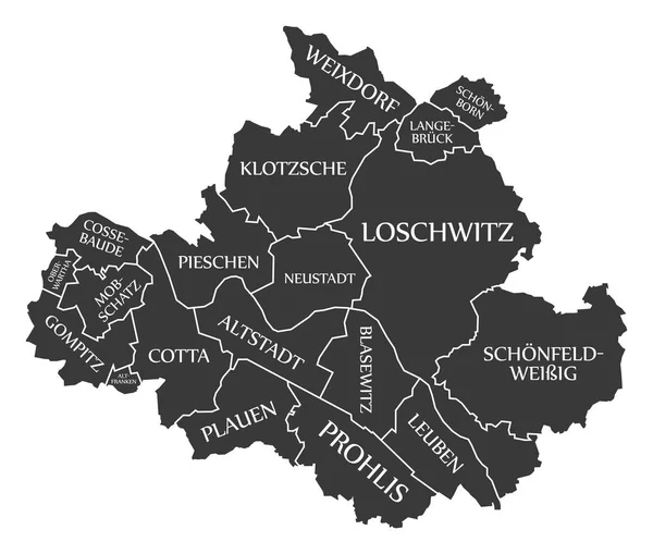
Stock vector Dresden city map Germany DE labelled black illustration
Published:
Mar.05, 2018 07:12:04
Author:
ingomenhard
Views:
55
Downloads:
1
File type:
vector
/
eps
File size:
6.13 MB
Orginal size:
5894
x
5000
px
Available sizes:
S
(500 x 424)
M
(1000 x 848)
L
(2000 x 1697)
XL
(5894 x 5000)
VECT
(5894 x 5000)
EL0
(5894 x 5000)
Level:
bronze
Download Vector
Vector topics:
Graphic
Illustration
Design
Isolated
Shape
New
Black
Silhouette
Border
Modern
City
Flat
Simple
Country
Map
Area
Germany
Trip
State
Countries
Borders
Administrative
Department
Region
Division
Territory
Caption
Flats
Labels
County
Divisions
Borough
Regional
Districts
Provinces
Dresden
Labelled
Counties
Departments
Similar stock vectors
Dark Gray Flat Vector Administrative Map Of HEIDELBERG, GERMANY With Name Tags And White Border Lines Of Its Districts
5707 × 4271
Dark Gray Flat Vector Administrative Map Of BRAUNSCHWEIG, GERMANY With Name Tags And White Border Lines Of Its Districts
4474 × 5413
Dark Gray Flat Vector Administrative Map Of KASSEL, GERMANY With Name Tags And White Border Lines Of Its Districts
5506 × 4400
Dark Gray Flat Vector Administrative Map Of MAINZ, GERMANY With Name Tags And White Border Lines Of Its Districts
4795 × 5208
Dark Gray Flat Vector Administrative Map Of COTTBUS, GERMANY With Name Tags And White Border Lines Of Its Districts
4424 × 5407
Dark Gray Flat Vector Administrative Map Of PADERBORN, GERMANY With Name Tags And White Border Lines Of Its Districts
5213 × 4635
Simple White Vector Map With Black Borders And Names Of Borough Districts Of Hanover, Germany
6004 × 4077
Dark Gray Flat Vector Administrative Map Of LUDWIGSHAFEN AM RHEIN, GERMANY With Name Tags And White Border Lines Of Its Districts
4822 × 5100