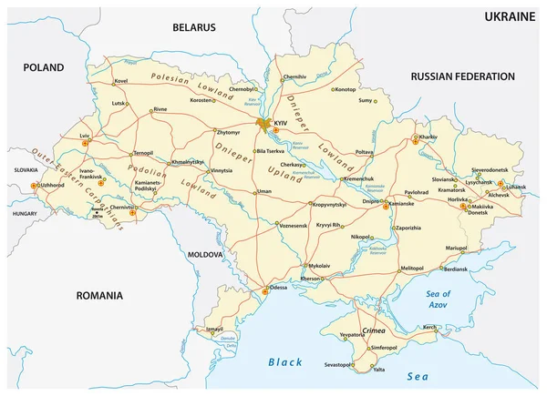
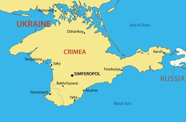
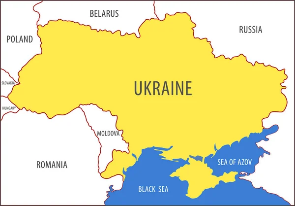
Stock vector Eastern Ukraine political map. The Crimea, a peninsula on the coast of Black Sea, and the Donbass, formed by Donetsk and Luhansk region, disputed areas between Ukraine and Russia. Illustration. Vector
Published: Apr.21, 2021 06:46:25
Author: Furian
Views: 61
Downloads: 0
File type: vector / eps
File size: 2.6 MB
Orginal size: 6000 x 9000 px
Available sizes:
Level: silver
Similar stock vectors
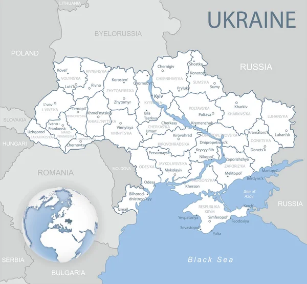
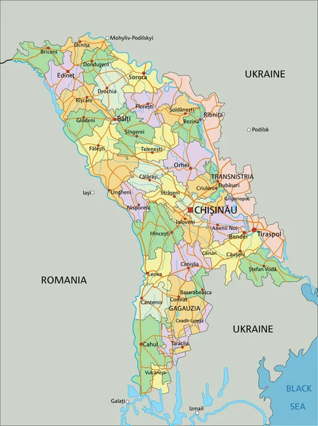
Blue-gray Detailed Map Of Ukraine And Administrative Divisions And Location On The Globe.
5675 × 5243