Home
Images
Vectors
Videos
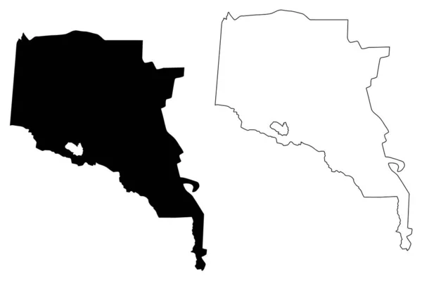
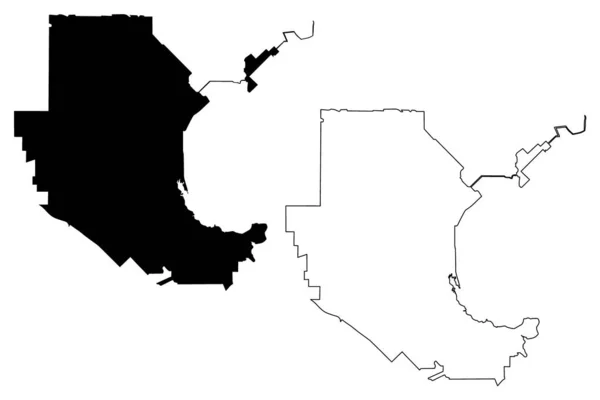
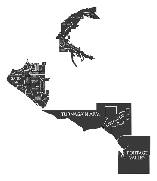
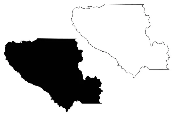
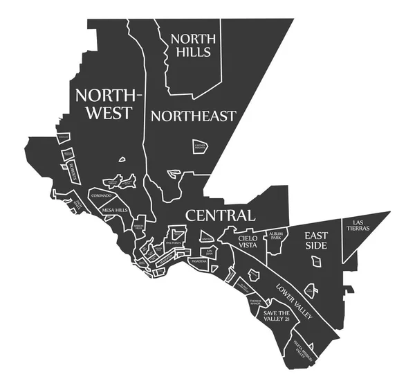
Stock vector El Paso Texas city map USA labelled black illustration
Published:
Mar.21, 2018 15:51:00
Author:
ingomenhard
Views:
10
Downloads:
0
File type:
vector
/
eps
File size:
9.01 MB
Orginal size:
5355
x
5000
px
Available sizes:
S
(500 x 467)
M
(1000 x 934)
L
(2000 x 1867)
XL
(5355 x 5000)
VECT
(5355 x 5000)
EL0
(5355 x 5000)
Level:
bronze
Download Vector
Vector topics:
Graphic
Illustration
Design
Isolated
Shape
New
Black
Silhouette
Border
Modern
City
Flat
Simple
Usa
Country
Map
Area
Trip
State
Texas
Countries
Borders
Administrative
Department
Region
Division
Territory
Caption
Flats
Neighborhood
Labels
County
Divisions
Borough
Regional
Districts
Provinces
Labelled
Counties
Departments
United States
United States Of America
El Paso
Similar stock vectors
Ahal Region (Republic Of Turkmenistan, Districts Of Turkmenistan) Map Vector Illustration, Scribble Sketch Ahal Province Ma
7087 × 4726
Garland City ( United States Cities, United States Of America, Usa City) Map Vector Illustration, Scribble Sketch City Of Garland Map
7087 × 4726
Anchorage Alaska City Map USA Labelled Black Illustration
5000 × 5755
Santa Clara County, California Map Vector
7087 × 4726
Piedras Negras Municipality (Free And Sovereign State Of Coahuila De Zaragoza, Mexico, United Mexican States) Map Vector Illustration, Scribble Sketch Piedras Negras Map
7087 × 4726
Dallas Texas City Map USA Labelled Black Illustration
5000 × 5367
Clinton County, Commonwealth Of Pennsylvania (U.S. County, United States Of America, USA, U.S., US) Map Vector Illustration, Scribble Sketch Clinton Map
7087 × 4726
Gray Vector Map Of The Islamic Republic Of Mauritania With White Borders Of Its Regions
4734 × 5207