Home
Images
Vectors
Videos
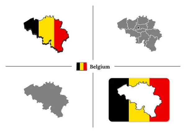
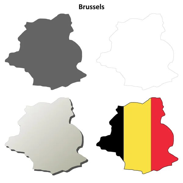
Stock vector Eleven Maps Provinces of Belgium - alphabetical order with name. Every single map of Province are listed and isolated with wordings and titles. Kingdom of Belgium. EPS 10.
Published:
Jul.31, 2020 07:40:15
Author:
karinanh
Views:
69
Downloads:
2
File type:
vector
/
eps
File size:
1.22 MB
Orginal size:
5000
x
5000
px
Available sizes:
S
(500 x 500)
M
(1000 x 1000)
L
(2000 x 2000)
XL
(5000 x 5000)
VECT
(5000 x 5000)
EL0
(5000 x 5000)
Level:
bronze
Download Vector
Vector topics:
Image
Background
Graphic
Design
Transparent
Shape
Line
Silhouette
Border
Flag
Modern
Gray
Symbol
Concept
Icon
Blank
Flat
Contour
Wallpaper
Detailed
Europe
Outline
Country
Map
Cartography
Area
National
Land
State
Borders
Geographic
Territory
Brussels
Eleven
Nation
Antwerpen
Limburg
Liege
Hainaut
Namur
No People
West Flanders
Kingdom Of Belgium
East Flanders
Similar stock vectors
Belgium Map Infographic With Belgian Cities Brussels Bruxelles, Liege Luik, Gent Ghent, Brugge Bruges, Charleroi, Antwerp Antwerpen With National Flag Yellow Red
4050 × 4050
Map Of Belgium With National Flag And State Regions In Vector Se
8243 × 5925
Brussels Outline Map Set
5000 × 5000
Belgium Map Vector Set
5000 × 5000
Flemish Brabant Province Map, Provinces Of Belgium. Vector Illustration.
4000 × 4000
Flanders Region Map, Belgium. Vector Illustration.
4000 × 4000
Multiple Shapes Set With The Flag Of Belgium
3750 × 2500