Home
Images
Vectors
Videos
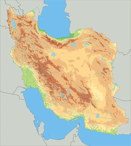
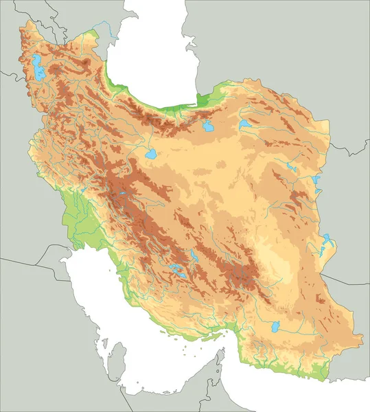
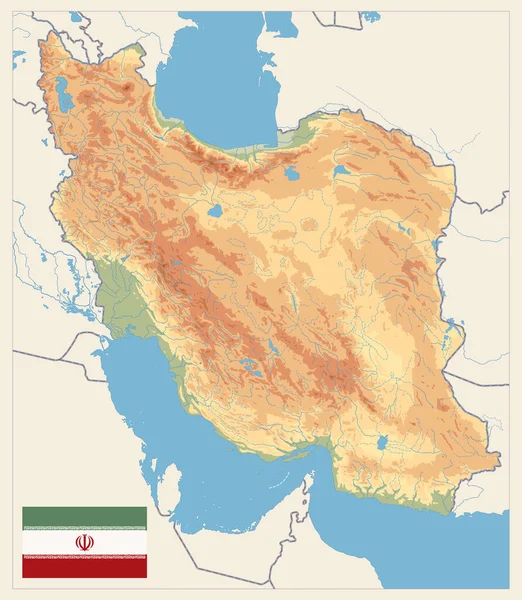
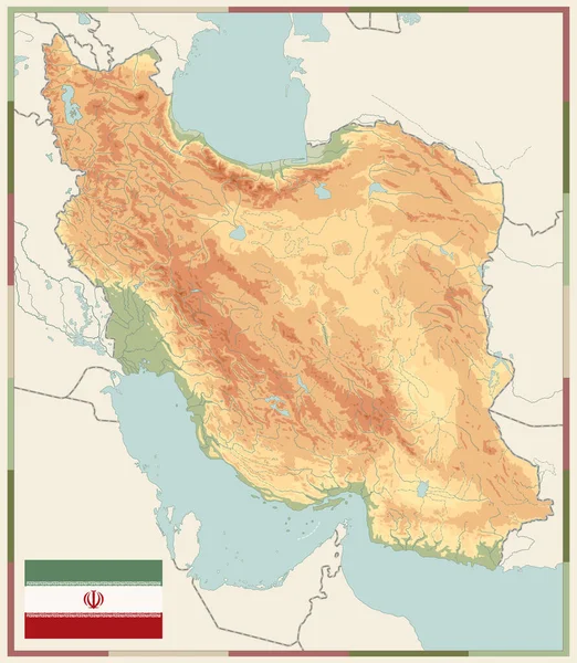
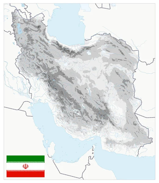
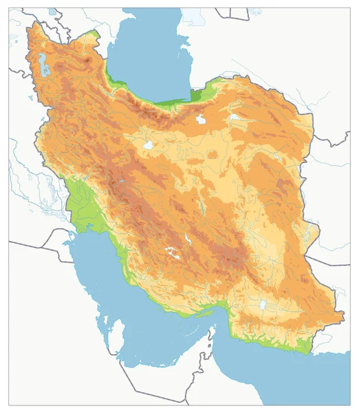
Stock vector Empty Physical map of Iran. Image contains layers with shaded contours, water objects.
Published:
Mar.19, 2020 10:16:10
Author:
Cartarium
Views:
6
Downloads:
0
File type:
vector
/
eps
File size:
9.36 MB
Orginal size:
3658
x
4204
px
Available sizes:
S
(435 x 500)
M
(870 x 1000)
L
(1740 x 2000)
XL
(3658 x 4204)
VECT
(3658 x 4204)
EL0
(3658 x 4204)
Level:
bronze
Download Vector
Vector topics:
Vector
Background
Nobody
Graphic
Colored
Illustration
Empty
Label
Abstract
Sea
Physical
Contour
Ocean
Relief
Asian
Elevation
Outline
Country
Map
Cartography
Geography
National
Continent
Land
Persian
Asia
Topography
Arab
Islam
Terrain
Atlantic
Islamic
Editable
Tehran
Territory
Shiraz
Atlas
Persia
Mapping
Oman
Iranian
Rivers
Shaded
Iran
Topographic
Tabriz
Middle East
No Text
Persian Gulf
Mashhad
Similar stock vectors
High Detailed Iran Physical Map.
3778 × 4201
Physical Map Of Iran Isolated On White. No Text. Image Contains Layers With Shaded Contours, Water Objects.
3658 × 4204
High Detailed Iran Physical Map.
3778 × 4201
Physical Map Of Iran Retro Colors. No Text. Image Contains Layers With Shaded Contours, Land Names, City Names, Water Objects And It's Names.
3658 × 4204
Physical Map Of Iran Old Colors. Empty Map. Image Contains Layers With Shaded Contours, Land Names, City Names, Water Objects And It's Names.
3658 × 4204
Iran Physical Map White And Gray Colors. No Text. All Elements Are Separated In Editable Layers Clearly Labeled. Vector Illustration.
3658 × 4204
Political Map Of Iran. No Text. Image Contains Layers With Outline Contours.
3658 × 4204
Highly Detailed Physical Map Of Iran. Image Contains Layers With Shaded Contours, Land Names, City Names, Water Objects And It's Names, Highways.
3658 × 4204