Home
Images
Vectors
Videos
Stock vector England administrative map isolated on white background
Published:
Jul.22, 2021 07:50:10
Author:
luisrftc
Views:
0
Downloads:
0
File type:
vector
/
eps
File size:
8.22 MB
Orginal size:
3882
x
5001
px
Available sizes:
S
(388 x 500)
M
(776 x 1000)
L
(1552 x 2000)
XL
(3882 x 5001)
VECT
(3882 x 5001)
EL0
(3882 x 5001)
Level:
bronze
Download Vector
Vector topics:
Image
Vector
Illustration
Isolated
Shape
Travel
Style
Border
Hand
Modern
Graphics
Symbol
Icon
City
Flat
Simple
Detailed
Northern
Europe
Outline
Country
Map
Cartography
Geography
Area
National
Ireland
Uk
Making
Drawn
Great
Federation
Administrative
Union
United
Kingdom
Britain
London
Region
England
Province
Wales
Scotland
Subdivision
Modernity
County
Mapping
Geographical
Boroughs
Similar stock vectors
Grey Map Of Ceremonial Counties Of England. Vector Illustration.
8334 × 8334
Map Of Ceremonial Counties Of England. Vector Illustration.
8334 × 8334
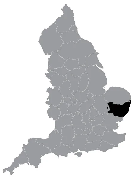
Black Location Map Of English Ceremonial County (Lieutenancy Area) Of Suffolk Within Grey Map Of England
3600 × 4800
Black Location Map Of English Ceremonial County (Lieutenancy Area) Of City Of London Within Grey Map Of England
3600 × 4800
Black Location Map Of English Ceremonial County (Lieutenancy Area) Of Bristol Within Grey Map Of England
3600 × 4800
England Map With Counties Grey Isolated
5000 × 6463
Black Location Map Of English Ceremonial County (Lieutenancy Area) Of Merseyside Within Grey Map Of England
3600 × 4800