Home
Images
Vectors
Videos
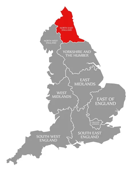
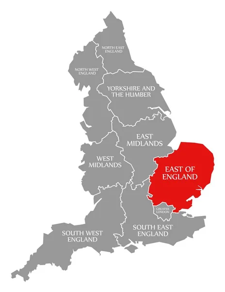
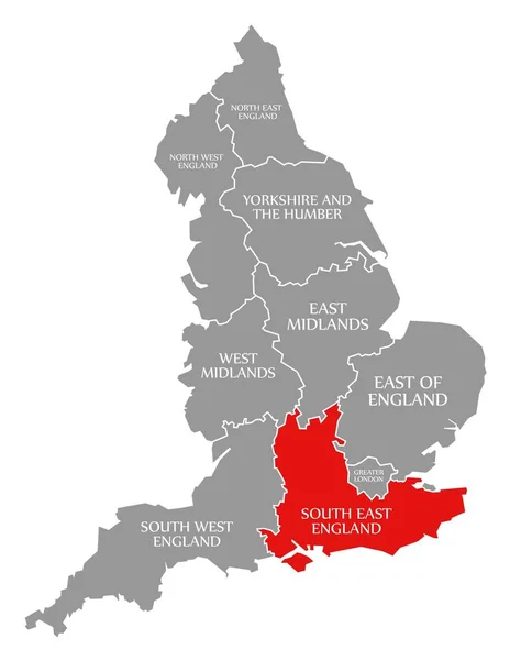
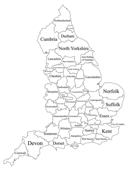
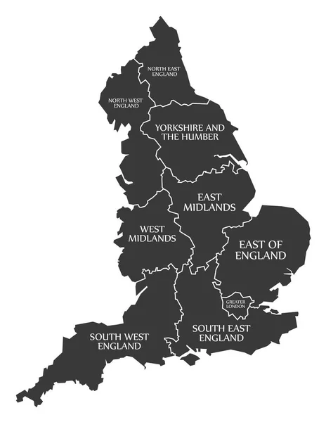
Stock vector England Map labelled black
Published:
Dec.19, 2016 12:51:03
Author:
ingomenhard
Views:
56
Downloads:
0
File type:
vector
/
eps
File size:
6.07 MB
Orginal size:
5000
x
6463
px
Available sizes:
S
(387 x 500)
M
(774 x 1000)
L
(1547 x 2000)
XL
(5000 x 6463)
VECT
(5000 x 6463)
EL0
(5000 x 6463)
Level:
bronze
Download Vector
Vector topics:
Vector
Graphic
Illustration
Design
Isolated
Shape
New
Black
Silhouette
Border
Modern
City
Flat
Simple
Country
Map
Area
Trip
State
Countries
Borders
Illustrations
Administrative
Department
States
Region
Division
Territory
England
Caption
Flats
Labels
County
Divisions
Regional
2016
Districts
Provinces
Regions
Labelled
Counties
Departments
Great Britain
Similar stock vectors
North East England Red Highlighted In Map Of England UK
5100 × 6592
East Of England Red Highlighted In Map Of England UK
5100 × 6592
South East England Red Highlighted In Map Of England UK
5100 × 6592
South West England Red Highlighted In Map Of England UK
5100 × 6592
White Labeled Ceremonial Counties Map Of European Country Of England
3600 × 4800
North West England Red Highlighted In Map Of England UK
5100 × 6592
West Midlands Red Highlighted In Map Of England UK
5100 × 6592
Gray Ceremonial Counties Map Of European Country Of England
3600 × 4800