Home
Images
Vectors
Videos
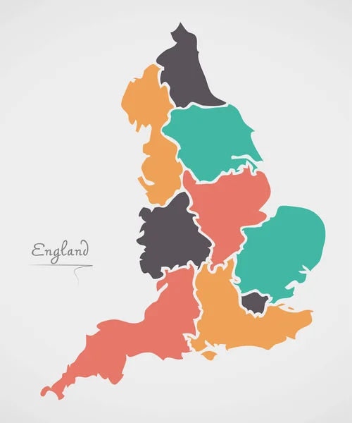
Stock vector England map with borders, cities, capital and administrative divisions. Infographic vector map. Editable layers clearly labeled.
Published:
Sep.04, 2018 10:02:01
Author:
molokowall
Views:
36
Downloads:
3
File type:
vector
/
eps
File size:
2.68 MB
Orginal size:
3000
x
3000
px
Available sizes:
S
(500 x 500)
M
(1000 x 1000)
L
(2000 x 2000)
XL
(3000 x 3000)
VECT
(3000 x 3000)
EL0
(3000 x 3000)
Level:
bronze
Download Vector
Vector topics:
White
Vector
Background
Circle
Isolated
Travel
Orange
Border
Symbol
City
Button
Contour
Grey
Information
Education
World
Town
Identity
Outline
Country
District
Map
Cartography
Geography
National
Continent
Land
Ground
State
Topography
Location
Political
Politics
Geographic
Region
Territory
England
Atlas
Nation
Subdivision
Mapping
Infographic
Travel Map
Vector Map
England Map
Similar stock vectors
England Vector Map. Editable Template With Regions, Cities, Red Pins And Blue Surface On White Background.
2500 × 3000
Stylized Vector England Map Showing Big Cities, Capital London, Administrative Divisions And Country Borders
3000 × 4235
England Map With Location Pointer Marks. Infographic Vector Template, Isolated On White Background.
4000 × 5000
England Vector Map With Infographic Elements, Pointer Marks. Editable Template With Regions, Cities And Capital London.
4000 × 4000
Stylized Vector England Map. Infographic 3d Gold Map Illustration With Cities, Borders, Capital, Administrative Divisions And Pointer Marks, Shadow; Gradient Background.
3000 × 3000
Isometric 3D England Map. Stylized Vector Map Illustration With Cities, Borders, Capital, Administrative Divisions And Pointer Marks; Gradient Background With Grid.
4000 × 3000
Gold Square Pattern Map Of England
6126 × 4081
England Map With Modern Round Shapes
5000 × 5996