Home
Images
Vectors
Videos
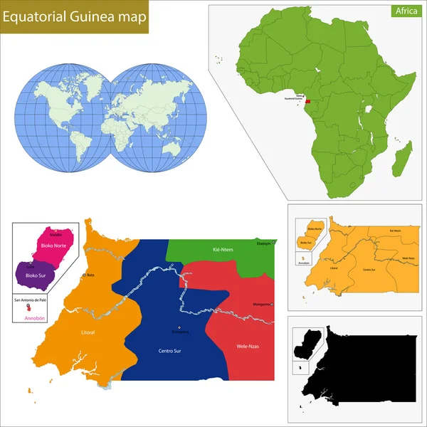
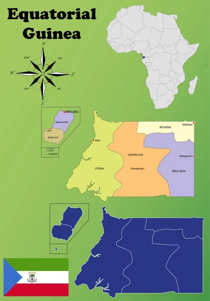
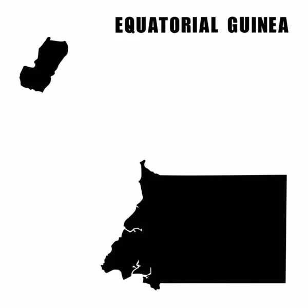
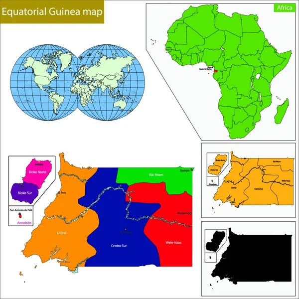
Stock vector equatorial Guinea map, graphic vector illustration
Published:
Jul.17, 2023 13:08:56
Author:
YAY_Images
Views:
0
Downloads:
0
File type:
vector
/
zip
File size:
0 MB
Orginal size:
5000
x
5000
px
Available sizes:
S
(500 x 500)
M
(1000 x 1000)
L
(2000 x 2000)
XL
(5000 x 5000)
VECT
(5000 x 5000)
EL0
(5000 x 5000)
Level:
platinum
Download Vector
Vector topics:
Illustration
Travel
Detail
Maple
Silhouette
African
City
Contour
Detailed
District
Map
Geography
Africa
Location
Political
Administrative
Region
Spanish
Territory
Atlas
Province
Malabo
Politically
Bata
Equatorial Guinea
Geographically
Central Africa
Similar stock vectors
Equatorial Guinea Map
7004 × 7004
Equatorial Maps
3970 × 5671
Vector Illustration Of Outline Map Of Equatorial Guinea. High-detail Border Map. Silhouette Of A Country Map Isolated On A White Background. Map For Infographic And Geographic Information.
4000 × 4000
Vector Flat Map Of Equatorial Guinea With Caption
5525 × 3942
Guinea-Bissau Map
7004 × 7004
Isolated Colored Map Of Equatorial Guinea With Borders Of The Regions
4000 × 4000
The Gambia Map
7004 × 7004